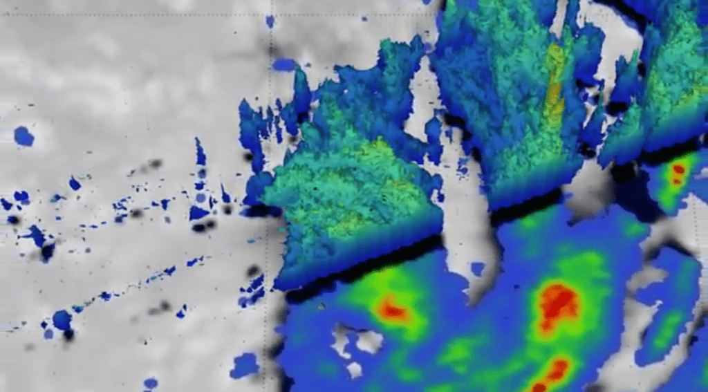
Tropical Cyclone Ula formed on Dec. 30 and since then it brought 150-kilometre-an-hour winds, strong gusts and heavy rain in parts of Fiji and Tonga. NASA has been keeping an eye on the cyclone and its rainfall.

The Global Precipitation Measurement or GPM core observatory satellite passed above Tropical Cyclone Ula when it was forming in the South Pacific Ocean and conducted rainfall analysis, calculating that rain falls at a rate of 83.6 mm (3.29 inches) and that the maximum winds are currently at 55 knots (63.2 mph/101.9 kph) and strengthening.
Unfortunately, the air mass is expected to continue damaging areas in Fiji and also generate high seas with wave heights to 22 feet (6.7 meters). Fiji director of meteorology Ravind Kumar said Cyclone Ula continues to remain very dangerous.
“Initially it showed that it was going to weaken, however it has slowed down and maintained its intensity over the last 12 to 24 hours,” he said. “We will continue to monitor it very closely. The models are giving some indications to weaken when it goes further south of Fiji.”
So far, there were no casualties and no significant structural damage, but some roofs were blown away.


