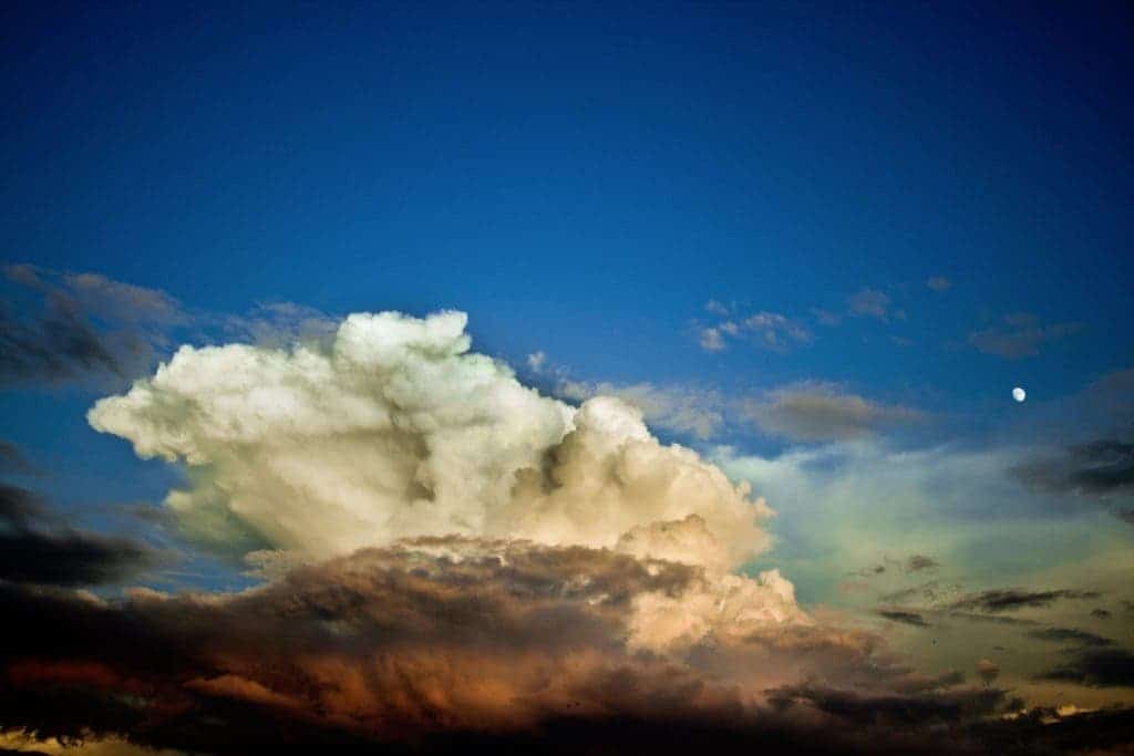
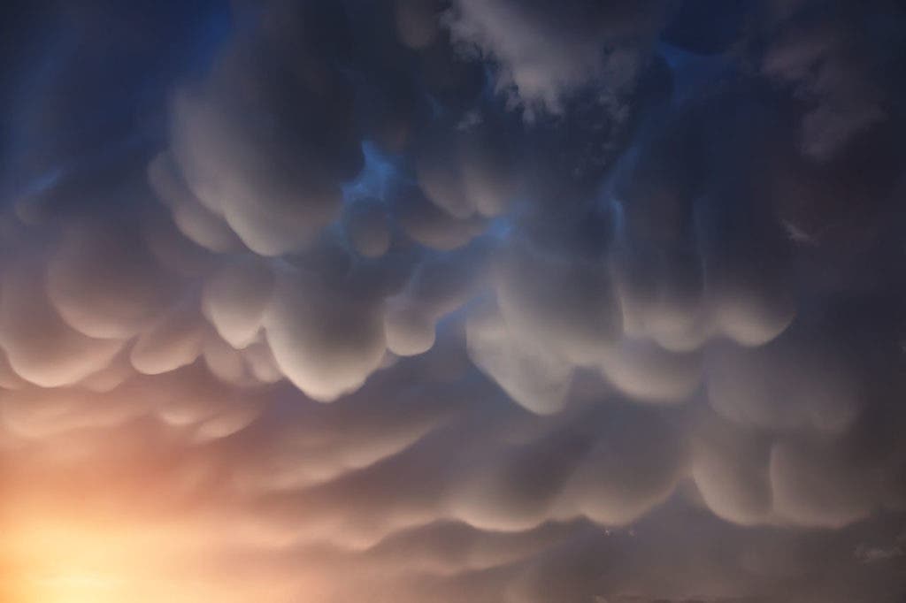
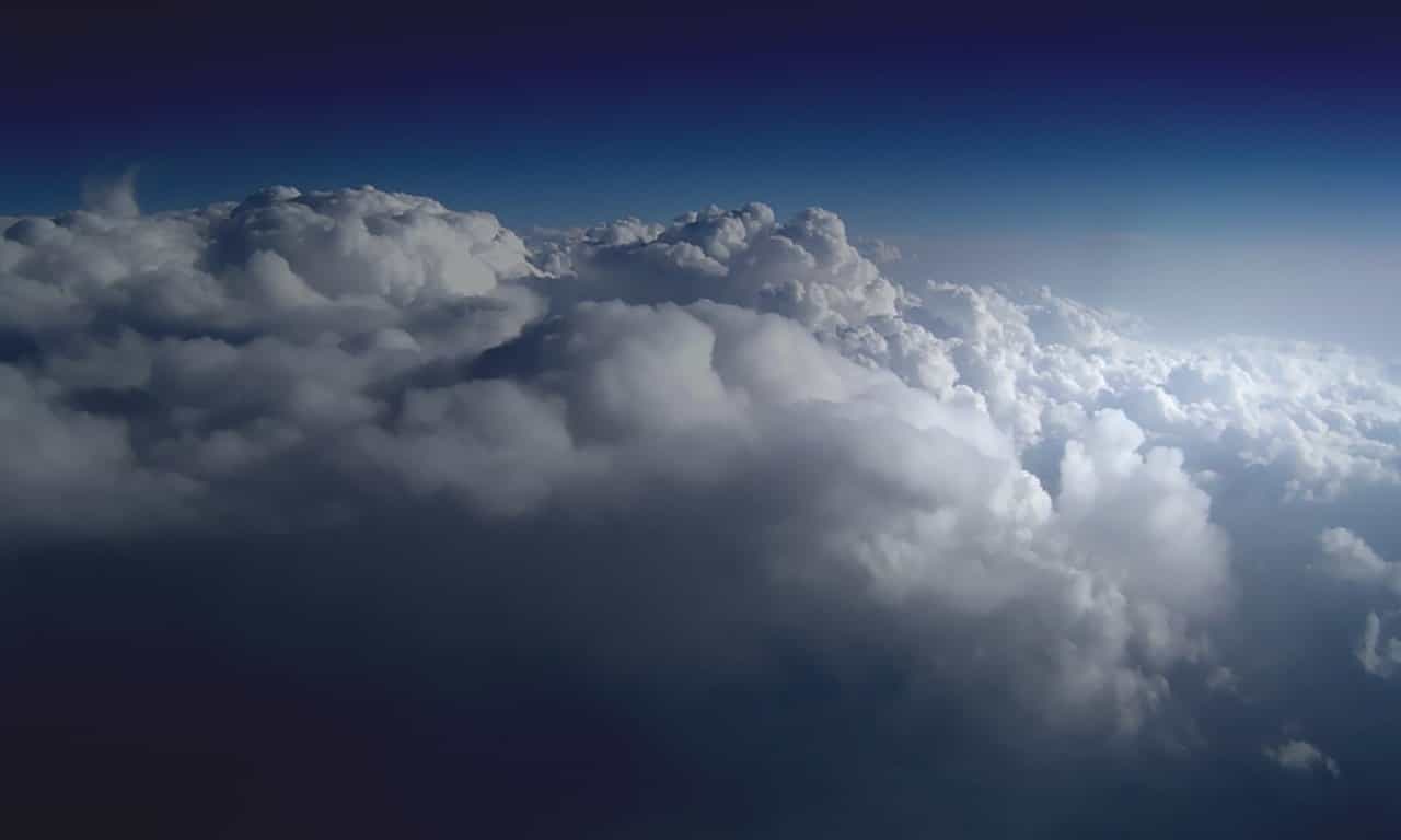
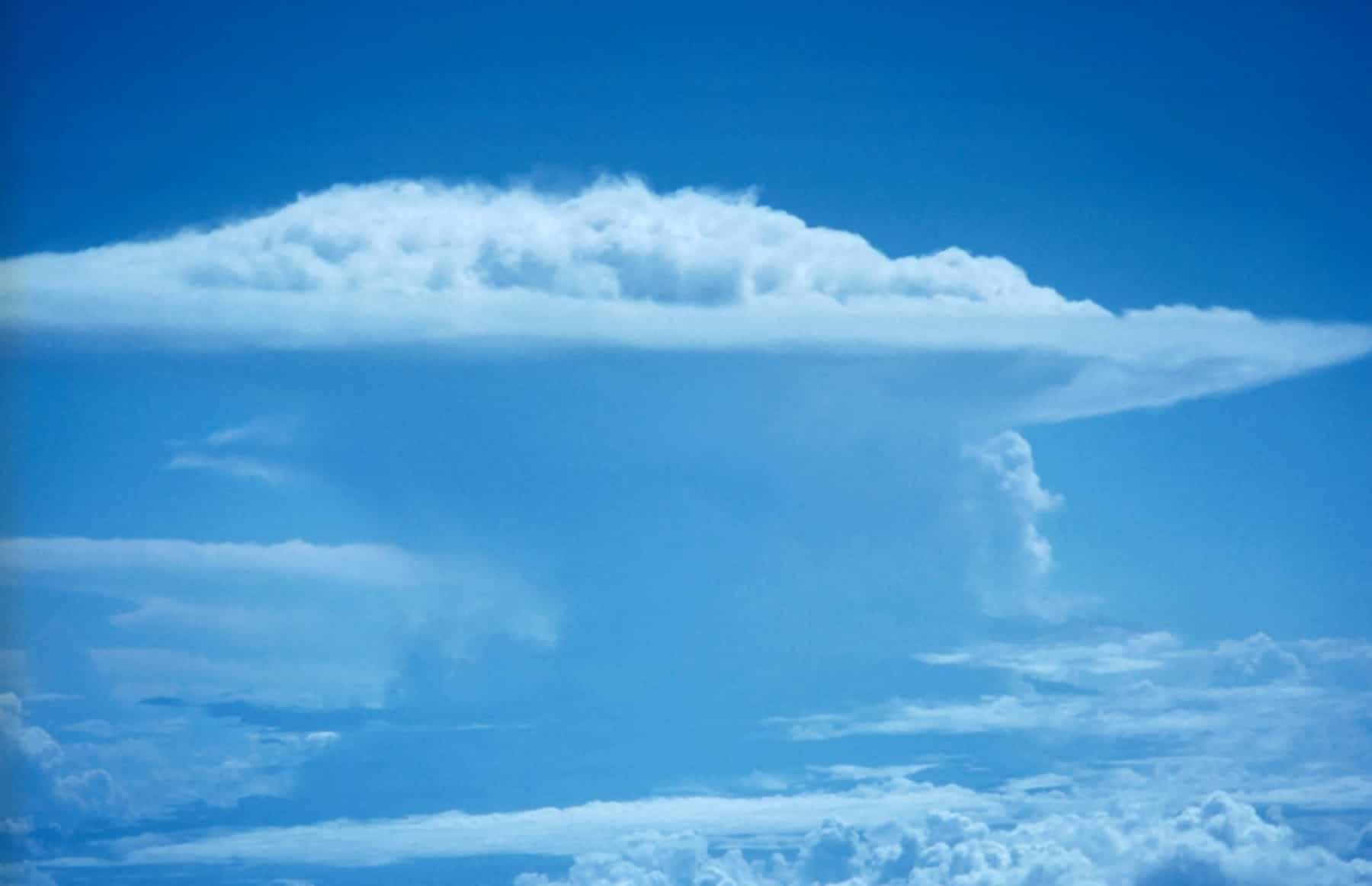
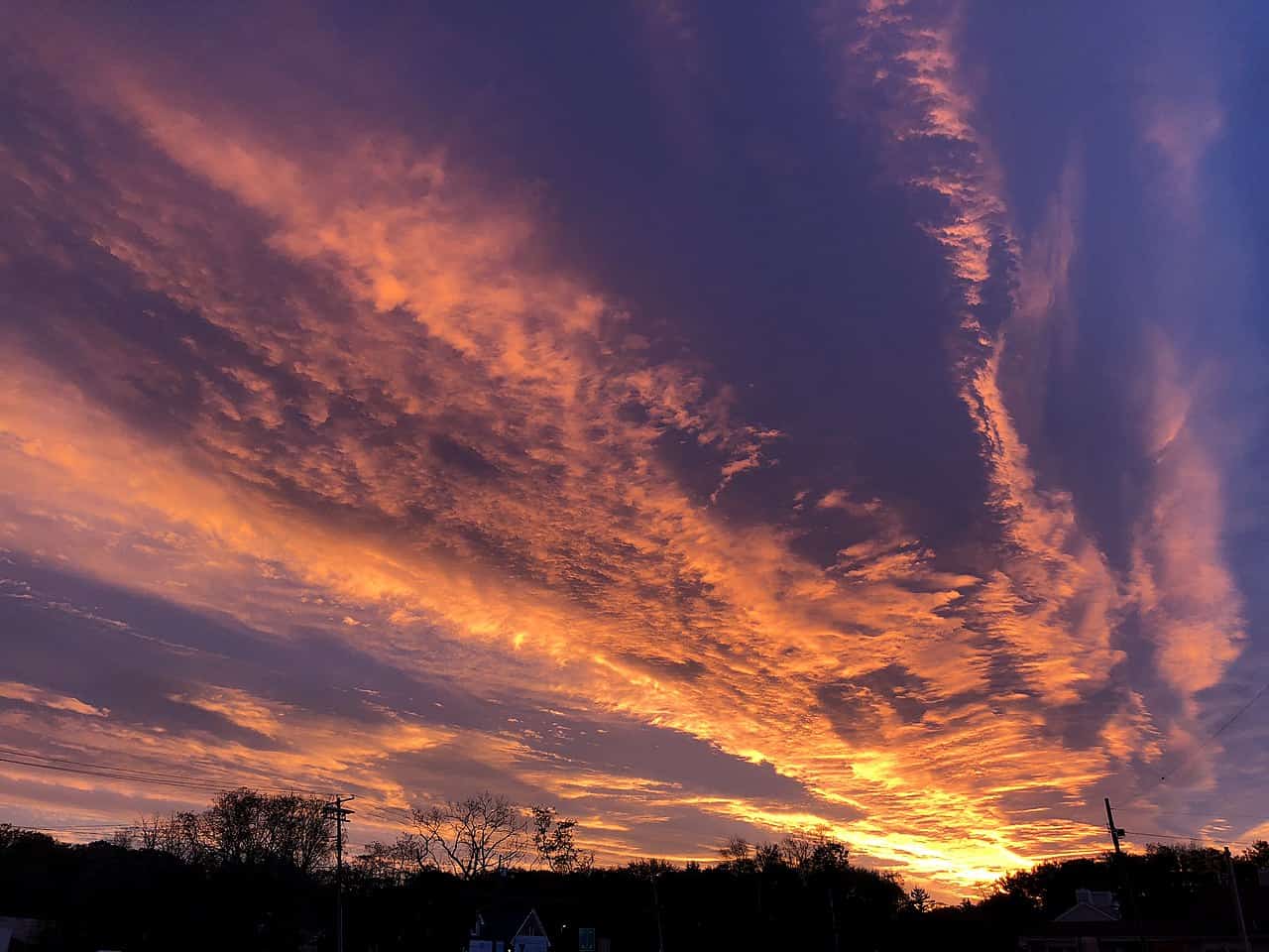
The different types of clouds are named based on their shape and how high up they hover in the troposphere. Each cloud, from fluffy cumulus clouds to ominous cumulonimbus, tells a unique story about the weather and the atmosphere.
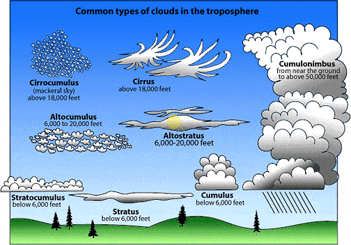
The ten main types of clouds
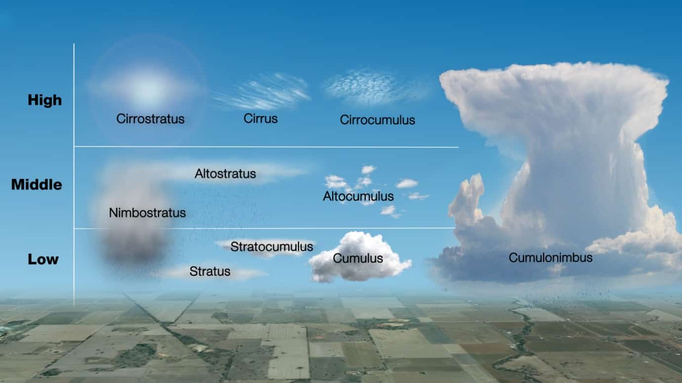
There are ten main types of clouds, which can be divided into three major families. Each cloud family has its own distinct cloud species, based on the altitude at which they form.
- High-level clouds (5-13 km): cirrocumulus, cirrus, and cirrostratus.
- Mid-level clouds (2-7 km): altocumulus, altostratus, and nimbostratus.
- Low-level clouds (0-2 km): stratus, cumulus, cumulonimbus, and stratocumulus.
A cloud is a visible accumulation of minute droplets of water, ice crystals, or both, suspended in the air. Though they vary in shape and size, all clouds are basically formed in the same way through the vertical uplift of air above the condensation level. Clouds may also form in contact with the ground surface — we call it fog, ice fog, or mist.
High-level clouds (5-13 km/16,500-40,000 feet)
Cirrus
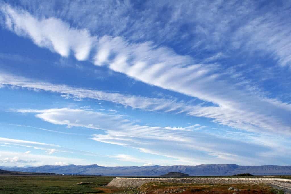
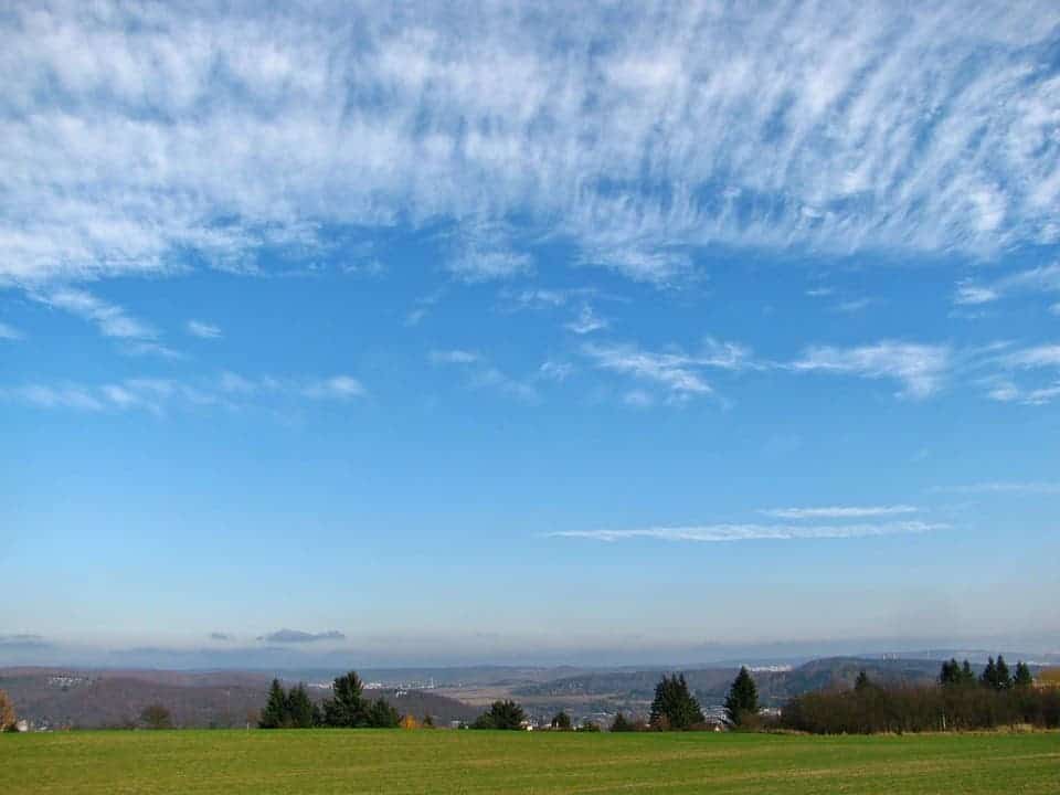
If you’ve ever looked up at the sky and seen thin, wispy clouds that resemble feathers or horse tails, you were probably looking at cirrus clouds.
Cirrus clouds are one of the most common types of clouds that can be seen at any time of the year. They’re thin and wispy with a silky sheen appearance.
This type of cloud is always made of ice crystals whose degree of separation determines how transparent the cirrus is. Besides the filament appearance, cirrus clouds stand out among other types of clouds because they’re often colored in bright yellow or red before sunrise and sunset, respectively. Cirrus clouds light up long before other clouds and fade out much later.
What’s the weather like
The presence of cirrus clouds suggests that the upper levels of the atmosphere are relatively dry and stable. Typically, this means that the weather is calm and there is a low chance of precipitation. Cirrus clouds often form ahead of approaching weather systems, such as warm fronts or low-pressure areas.
Cirrocumulus
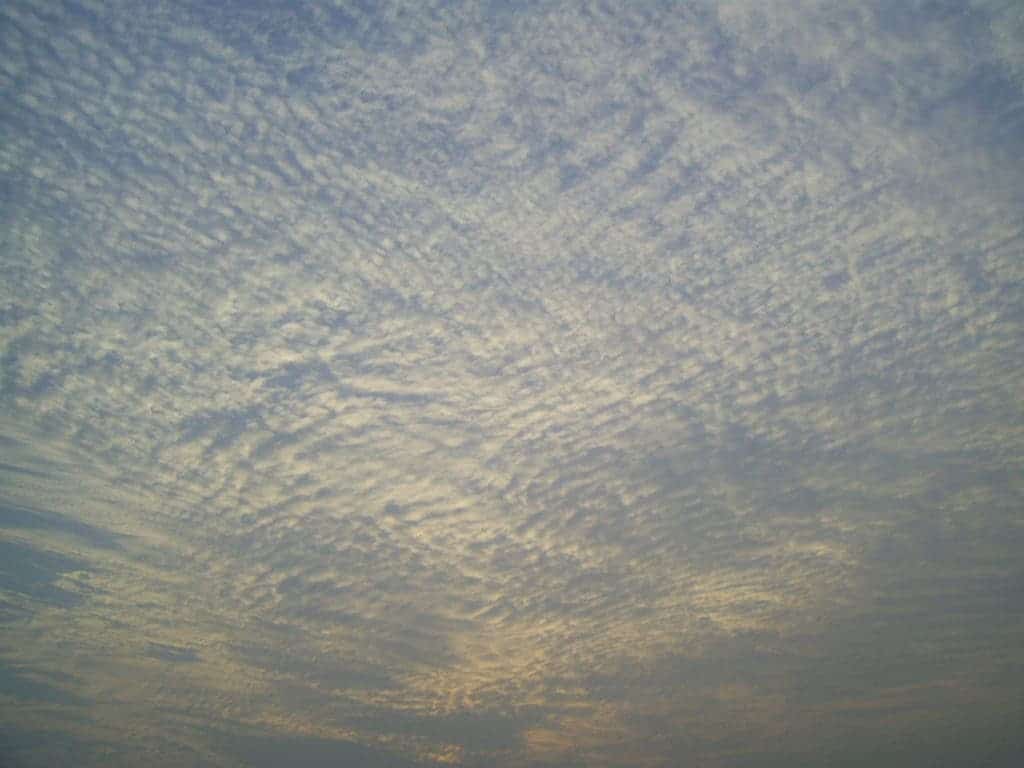
Cirrocumulus clouds are among the most gorgeous out there. These usually form at about 5 km above the surface with small white fluff patterns that spread out for miles and miles over the sky. They’re sometimes called ‘mackerel skies’ because they can sometimes have a grayish color which makes the clouds look a bit like fish scales.
Cirrocumulus clouds exhibit features from both cumulus and cirrus clouds but should not be confused with altocumulus clouds. While the two can look similar, cirrocumulus does not have shading and some parts of altocumulus are darker than the rest. They form when turbulent vertical currents meet a cirrus layer, creating the puffy cumulus shape.
What’s worth keeping in mind about cirrocumulus clouds is that they never generate rainfall (but can mean cold weather) nor do they interact with other types of clouds to form larger cloud structures.
What’s the weather like
In general, when you observe cirrocumulus clouds, you can expect a mixture of sun and clouds, with the possibility of slight changes in weather patterns. It may still be a relatively pleasant day, but there might be a slight increase in cloud cover and a chance of some atmospheric instability.
Cirrostratus
Cirrostratus clouds have a veil-like appearance that can look like a curly blanket covering the sky. They’re quite translucent which makes it easy for the sun or the moon to peer through. Their color varies from light gray to white and the fibrous bands can vary widely in thickness. Purely white cirrostratus clouds signify these have stored moisture, indicating the presence of a warm frontal system.
Some of the best cloud pictures involve cirrostratus clouds because the ice crystals beautifully refract light from the sun or moon producing a dazzling halo effect. Cirrostratus clouds can turn into altostratus clouds if they descend to a lower altitude.
As a nice piece of trivia, cirrostratus clouds almost always move in a westerly direction. The sight of them usually means rainfall is imminent in the next 24 hours.
What’s the weather like
Overall, when you see cirrostratus clouds in the sky, it is a sign of an approaching weather system. Be prepared for potential changes in the weather, such as increasing cloudiness, decreasing visibility, and the possibility of precipitation in the near future.
Mid-level clouds (2-7 km/ 6,500-23,000 feet)
Altocumulus

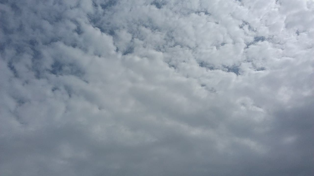
Altocumulus clouds are mid-level clouds that resemble a field of white sheep. They appear as white or grayish-white rounded or layered cloud patches with a globular or wavy appearance. They form at a lower altitude compared to other mid-level clouds so they’re largely made of water droplets. However, they may retain ice crystals when forming a bit higher up.
These sky blankets usually appear between lower stratus clouds and higher cirrus clouds, and normally precede altostratus when a warm frontal system is advancing. When altocumulus appears with another cloud type at the same time, a storm normally follows.
Altocumulus clouds are quite common in most parts of the globe. They usually grow by convection, in most cases after damp air rises to mix with descending dry air. Altocumulus clouds may also form in combination with other types of clouds like cumulonimbus.
Altocumulus clouds are a sign of fair weather, but they can also signal the possibility of a thunderstorm later in the day. The amount of rainfall from altocumulus clouds is light to moderate. If these clouds thicken and lower, they may transition into altostratus clouds, potentially bringing overcast skies and light rain or snow.
What’s the weather like
When altocumulus clouds are observed in the sky, it generally indicates a relatively stable atmospheric environment with partially cloudy conditions. These mid-level clouds, characterized by rounded masses or rolls, suggest the presence of moisture in the middle layers of the atmosphere. Altocumulus clouds alone do not typically produce significant precipitation at the surface, but their presence can signal the approach of a weather system.
Altostratus
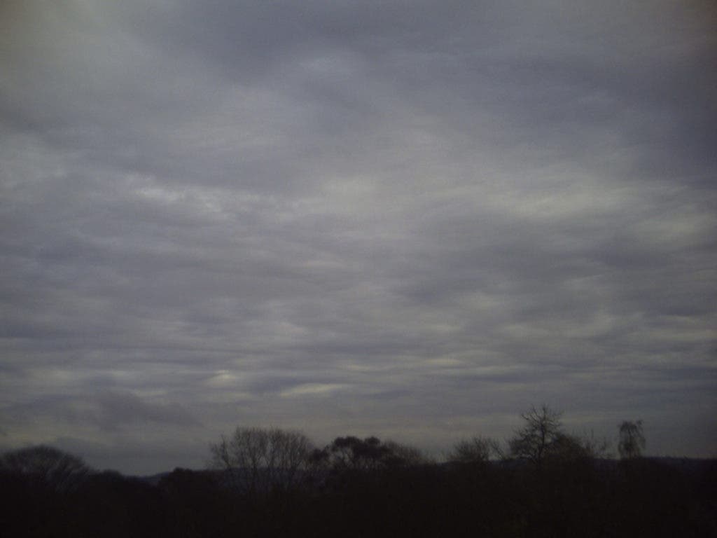
Altostratus clouds often spread over thousands of square kilometers and are strongly linked to light rain or snow. Though they’re not capable of yielding heavy rain it’s common for altostratus clouds to morph into nimbostratus clouds which are packed with moisture and can deliver a pounding.
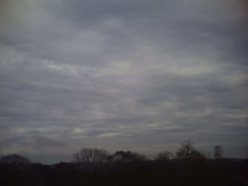
They’re uniformly gray, smooth, and mostly featureless which is why they’re sometimes called ‘boring clouds’. You’ll commonly see this type of cloud in an advancing warm frontal system, preceding nimbostratus clouds.
What’s the weather like
When altostratus clouds dominate the sky, it indicates overcast conditions with a high likelihood of precipitation. These clouds typically indicate the presence of a warm front or an approaching low-pressure system. Unlike cumulonimbus clouds, altostratus clouds usually produce light to moderate, continuous precipitation rather than intense thunderstorms.
Nimbostratus
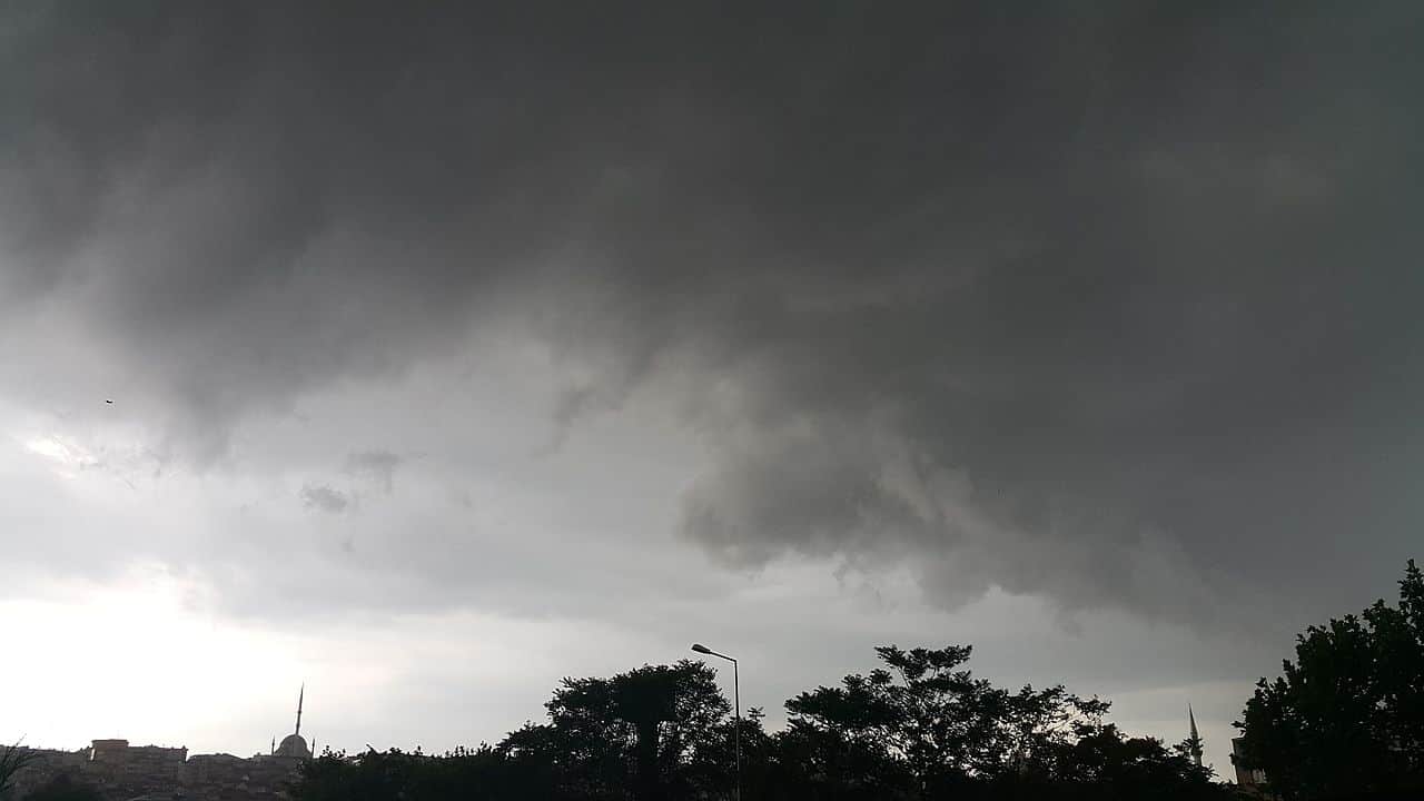
The name Nimbostratus comes from the Latin words nimbus which means “rain” and stratus for “spread out”. These gloomy clouds are the heavy rain bearers, forming thick and dark layers of clouds in the sky that can completely block out the sun. Though they belong to the middle-level category, they may sometimes descend to lower altitudes.
Nimbostratus clouds form as a result of the gradual accumulation of moisture over a large area as the warm frontal system lifts warm moisture higher up in the atmosphere where it condenses. As outlined earlier, a nimbostratus cloud can form from other types of clouds, like a descending altostratus. Spreading cumulonimbus clouds may also lead to the formation of nimbostratus.
What’s the weather like
Nimbostratus clouds signify prolonged and steady precipitation. They are associated with continuous rainfall or snowfall and often indicate the presence of a warm front, a stationary front, or a developing low-pressure system. The weather under nimbostratus clouds is typically characterized by persistent precipitation, low visibility, and overcast skies. Unlike cumulonimbus clouds, nimbostratus clouds produce more gentle and widespread precipitation, lasting for an extended period.
Low-level clouds (0-2km/0-6,500 feet)
Stratus
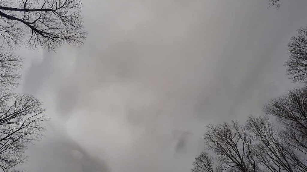
Stratus clouds are composed of thin layers of clouds covering a large area of the sky. They’re featureless but that doesn’t mean you can’t tell them apart from other species. Think of a cloudy, dreary day — a stratus cloud is likely looming above.
Stratus clouds are simply called mist or fog when they form close to the ground. You can easily distinguish a stratus cloud by the long horizontal layers which have a fog-like appearance.
The clouds form from large air masses that rise to the atmosphere and later condense. These are pretty benign in terms of rainfall producing light showers or even light snow if the temperatures fall below freezing. However, if enough moisture is retained at the ground level, the cloud can transform into a nimbostratus. Stratus clouds are very common all over the world, especially in the coastal and mountainous regions.
What’s the weather like
Stratus clouds generally signify overcast conditions with the potential for light precipitation or drizzle. They often form as a result of stable atmospheric conditions, such as a cool air mass settling near the ground or the lifting of moist air over a colder surface. The weather associated with stratus clouds is typically characterized by gray and dull skies, reduced visibility, and a misty or drizzly precipitation. The intensity of the precipitation is usually light, and the clouds can persist for hours or even days, creating a dreary and damp atmosphere.
Cumulus
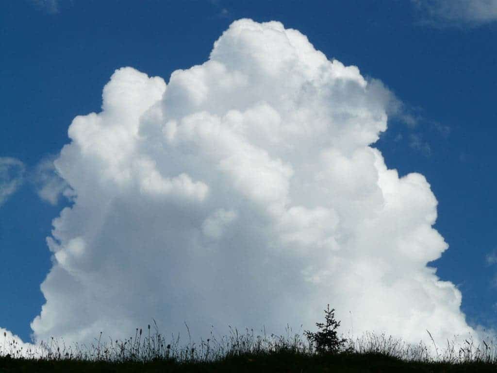
It’s the most recognizable out of all the types of clouds. Cumulus clouds are fluffy, white clouds that resemble cotton balls and are often associated with beautiful, sunny days. They form due to convective processes, typically triggered by warm air rising from the surface.
These adorable ‘piles of cotton’ form a large mass with a well-defined rounded edge, which explains the name ‘cumulus’ which is Latin for ‘heap’. You can find them virtually everywhere in the world expected for the polar regions.
What’s the weather like
When cumulus clouds are observed in the sky, it usually indicates fair and stable weather conditions. The weather under cumulus clouds is often characterized by bright, sunny skies, mild temperatures, and little to no precipitation. However, it’s important to note that cumulus clouds can grow and develop into cumulonimbus clouds, which are associated with thunderstorms. Monitoring the changes in cumulus cloud development is essential to assess potential weather shifts accurately.
Cumulonimbus
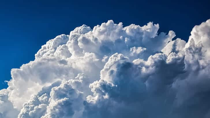
Cumulonimbus clouds are large, towering clouds that often signal the arrival of a thunderstorm. They’re fluffy and white like cumulus clouds but they can grow much larger.
They can stretch all the way from the ground to the top of the atmosphere and are made up of water droplets and ice crystals. The rain comes and goes with this cloud but when it does, it pours. When you see a cumulonimbus, you know there’s a thunderstorm waiting to happen somewhere, so you better seek cover.
Cumulonimbus clouds can be seen most commonly during the afternoons of summer and spring months when the Earth’s surface releases excess heat.
What’s the weather like
When cumulonimbus clouds dominate the sky, it indicates the potential for severe weather conditions. The weather under cumulonimbus clouds is often characterized by dark, ominous skies, intense rainfall, thunder, and lightning. Severe weather conditions such as flash floods, gusty winds, and large hail are commonly associated with cumulonimbus clouds. It is important to take necessary precautions and seek shelter when cumulonimbus clouds are present as they pose a significant risk for hazardous weather events.
Stratocumulus
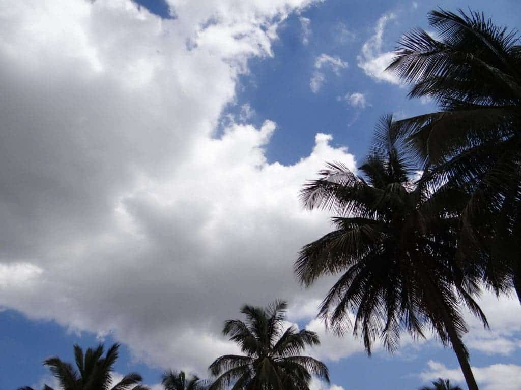
Stratocumulus clouds look like a thick white blanket of stretched-out cotton. They resemble both stratus and cumulus clouds, hence the name.
The base is well-defined and flat but the upper part of the cloud is ragged due to convection with the cloud itself. Depending on the thickness of the cloud, stratocumulus will have light to dark gray hues and a textured appearance.
People often think rain is imminent when they see these clouds. In reality, you’ll be lucky to get a light drizzle out of them.
What’s the weather like
Stratocumulus clouds typically indicate a stable and slightly overcast weather pattern. The weather under stratocumulus clouds is usually associated with dry conditions and a lower chance of significant precipitation. These clouds can bring periods of light drizzle or sprinkle, but they are not typically associated with heavy rainfall or thunderstorms. Stratocumulus clouds often occur in the aftermath of a cold front passage or in stable atmospheric conditions. They can create a partly sunny sky with intermittent cloud cover, resulting in cooler temperatures and subdued sunlight compared to clear skies.
Cloud species and varieties
All of the above represents a broad classification as each type of cloud can be further grouped by species and varieties. The varieties are grouped and named based on transparency and the arrangement of cloud elements, like so:
- duplicatus (du) – more than one layer at different levels;
- intortus (in) – irregular or tangled;
- lacunosus (la) – thin cloud with regularly spaced holes, net-like;
- opacus (op) – completely masks the sun or moon;
- perlucidus (pe) – broad patches with some (small) gaps allowing the blue sky to be seen;
- radiatus (ra) – broad parallel bands converging owing to perspective;
- translucidus (tr) – translucent enough to permit the sun or moon to be seen;
- undulatus (un) – sheets with parallel undulations;
- vertebratus (ve) – looking like ribs or bones;
Cirrus species
- Cirrus fibratus – The most common type of cirrus cloud. Thin and fibrous, cirrus fibratus is often aligned with the high-altitude wind direction. It appears as white parallel stripes which streak across the sky.
- Cirrus uncinus – Has a trademark hook shape.
- Cirrus spissatus – Thick and dense, cirrus spissatus tends to dominate the sky above.
- Cirrus floccus – These have a more cotton wool-like appearance than any other cirrus.
- Cirrus castellanus – More vertically developed and have a turret-like summit.
Cirrocumulus species
- Cirrocumulus stratiformis – These are the famous ‘fish scale’ clouds.
- Cirrocumulus lenticularis – Often larger than other clouds in the family with a rounded shape.
- Cirrocumulus floccus – Have a more ragged appearance than other species. The species often appears in smaller patches with other cirrocumulus clouds.
- Cirrocumulus castellanus – Taller than they are wide, these cute clouds resemble tiny towers in the sky
Cirrostratus species
- Cirrostratus fibratus – It looks a lot like cirrus only with more consistency. It has the look of an animal’s fur.
- Cirrostratus nebulosus – Has the appearance of a veil covering the sky. It’s featureless and sometimes unnoticeable.
Altocumulus species
- Altocumulus stratiformis – Looks like a bunch of flat-bottomed puffy clouds packed tightly together but separated by small streaks. These can sometimes extend over the whole sky.
- Altocumulus lenticularis – Lens-shaped clouds that usually form over hilly areas. These are often called spaceship clouds since they often resemble a UFO.
- Altocumulus castellanus – These often lead to cumulonimbus thunderstorms. They’re taller and puffier looking than they are wide.
- Altocumulus floccus – Often spotted alongside altocumulus castellanus, altocumulus floccus is made of more rugged cloudlets.
Altostratus species
- Altostratus Undulatus – Characterized by thin layers that resemble waves. These are a sign of slight mid-atmospheric instability.
- Altostratus Duplicates – In this cloud formation, you will see two or more layers of altostratus clouds on top of each other.
- Altostratus Pannus – Has chaotic layers that make it look like a shredded cloth.
- Altostratus Translucidus – It’s more transparent than other species allowing the contour of the sun to be visible through it.
- Altostratus Radiates – Clouds come in wide parallel bands pointing towards the horizon.
- Altostratus Mamma – The name ‘mamma’ comes from the hanging pouches of this altostratus species which resemble a woman’s mammary glands.
- Altostratus Opacus – Seen on wet days, this is a gloomy species that, once it descends, transforms into the rain-bearing nimbostratus.
Stratocumulus species
- Stratocumulus stratiformis – This is the most common type of cloud all across the globe. Essentially, these are flat-based clouds with cracks in between.
- Stratocumulus cumulogenitus – These interestingly form when a cumulus encounters a temperature inversion.
- Stratocumulus castellanus – These are thicker, drizzly stratocumulus clouds.
- Stratocumulus lenticularis – The rarest variety of stratocumulus, these are often spotted in hilly locations which produce atmospheric waves. These clouds have a lens-like shape.
Stratus species
- Stratus Fractus – Cloud filaments whose appearance changes rapidly due to wind gusts.
- Stratus Nebulosus – Featureless gray stratus clouds that form in cool and stable conditions when moist air moves onto a water or cold ground surface.
- Stratus Opacus – These are the clouds that completely or partly cover the sun or moon.
- Stratus Undulatus – This variety displays a wave-like undulation.
- Stratus Praecipitatio – A form of stratus cloud that comes with precipitation through ice prisms, snow grains or light drizzles.
- Stratus Translucidus – Has a veil-like pattern that outlines the sun and moon.
Cumulus species
- Cumulus humilis – These cumulus clouds are wider than they are tall. You’ll often find more than one dotting the skyline.
- Cumulus mediocris – As the name implies, these clouds are just as wide as they are tall. You’ll usually see them amongst a variety of other cumulus species.
- Cumulus congestus – These are taller than they are wide resembling long chimneys.
- Cumulus fractus – Simply the broken remnants of cumulus clouds that are dissipating.
Cumulonimbus species
- Cumulonimbus calvus – The top looks like a cumulus because the tower has not produced ice crystals yet.
- Cumulonimbus capillatus – The top-side of the tower cloud is fibrous. This time, the water droplets have started to freeze, indicating rainfall is to be expected.
- Cumulonimbus incus – Like in the case of cumulonimbus capillatus, the top of the cloud is fibrous but this time also anvil-shaped. This characteristic shape is the result of the cloud reaching the barrier of the troposphere and must now grow outward.
BONUS: Asperitas (Undulatus asperatus)
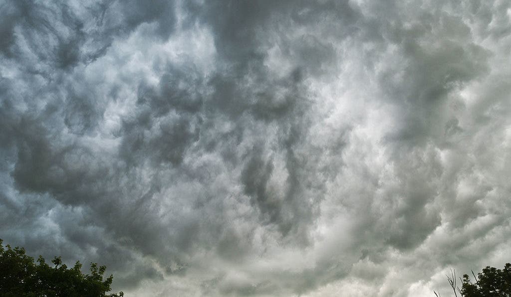
For years, Gavin Pretor-Pinney, who is the founder of The Cloud Appreciation Society, has been on a mission to convince the world that a new category of cloud deserves recognition. He called it Undulatus asperatus, an odd cloud formation with a distinct undulating and rolling motion.
It’s characterized by localized waves in the cloud base, either smooth or dappled with smaller features, sometimes descending into sharp points, as if viewing a roughened sea surface from below. Varying levels of illumination and thicknesses in the cloud can lead to dramatic visual effects.
This type of cloud looks as if it came straight from hell.
In March 2017, this very rare cloud formation was officially recognized as a distinct cloud by the International Cloud Atlas, marking the first cloud formation added since cirrus intortus in 1951. Its name was changed to Asperitas.

This article originally appeared in 2018 and has since been updated with new information.
