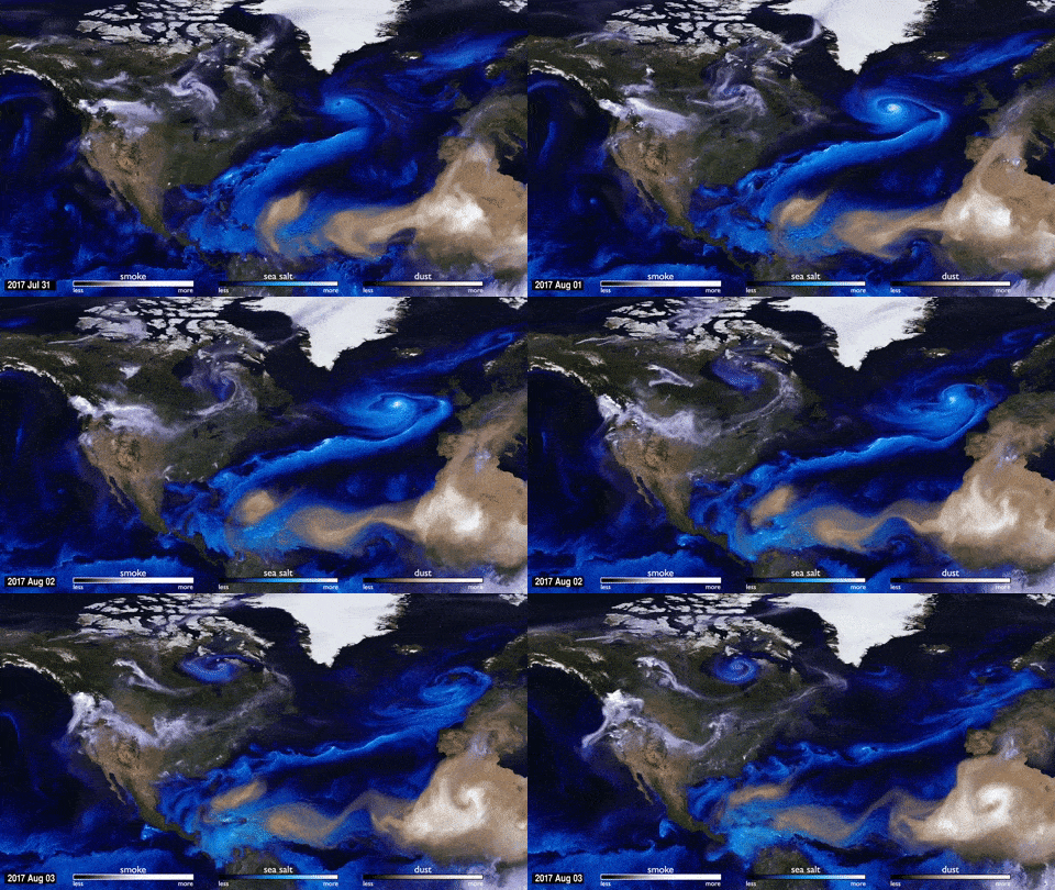
A gorgeous new animation published by NASA depicts sea salt, dust, and smoke movements in the atmosphere during this year’s hurricane season.
Because air is so hard to see, NASA uses aerosol particles to track movements in the atmosphere. By combining raw satellite data with mathematical models of atmospheric phenomena, NASA researchers can see how smoke, dust, and sea salt are transported across the globe — allowing the agency a glimpse into weather patterns that would otherwise remain hidden to our view.
For example, tracking how sea salt (blue-white) evaporates from oceans will showcase the evolution of all of 2017’s hurricanes. The animation also captures the massive wildfires in the Pacific Northwest on the smoke layer of the simulation (gray). Particles released in these fires made it all the way from Oregon to Washington, though the south, eventually reaching the UK (in early September).
Dust (brown) also makes an appearance, most notably piggybacking on storm systems out of the Sahara and towards the Americas. Unlike sea salt, however, it doesn’t last too long in the eye of the storm. Here, dust particles are captured by cloud droplets and rain down on the ocean.
Advances in computing speed allow scientists to include more details of these physical processes in their simulations than ever before. So in time, they’re only going to become more complex and will more closely reflect reality.


