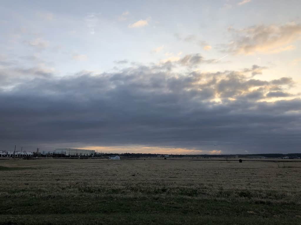
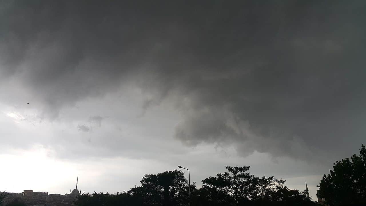
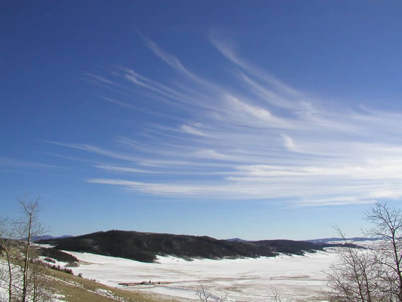
Welcome to the fascinating world of Stratus clouds. In this article, we’ll explore what Stratus clouds are, how they form, how to identify them, their significance in weather prediction, and the different subtypes that exist.
What are Stratus Clouds?

Stratus clouds, as the name suggests, belong to the low-altitude cloud category. They often stretch like a seamless, gray blanket across the sky, covering the landscape with a veil of tranquility. These clouds form in stable, uniform layers and are typically found at altitudes below 6,500 feet (2,000 meters).
How Do Stratus Clouds Form?
Stratus clouds are born from a simple process: as warm, moist air rises and encounters cooler air, it cools down. When the air reaches its dew point temperature, the invisible water vapor condenses into visible water droplets, forming a cloud.
Stratus clouds usually emerge in stable atmospheric conditions, such as after the passage of a warm or occluded front, where the air is gently lifted over a cooler air mass.
How to Identify Stratus Clouds?
Recognizing Stratus clouds is straightforward, thanks to their distinctive appearance. Picture a uniform, grayish layer that seems to blend into one vast sheet.
Unlike the towering Cumulonimbus clouds, Stratus clouds lack vertical development and generally have a flat, featureless bottom surface. When you spot these clouds, prepare for a potential overcast sky, as they often bring gray, gloomy weather.
Weather Prediction with Stratus Clouds

Understanding Stratus clouds can offer valuable insights into upcoming weather conditions. These low, thick clouds are notorious for their association with drizzle, light rain, or even snowfall in colder regions.
If you notice Stratus clouds gradually thickening and darkening, be prepared for an increase in precipitation. Conversely, a gradual breakup or thinning of Stratus clouds may signal improving weather conditions.
Subtypes of Stratus Clouds
Within the realm of Stratus clouds, you’ll encounter intriguing subtypes, each with its unique characteristics:
- Stratus Nevoformis: Also known as “Scud clouds,” these irregular, broken Stratus clouds often appear beneath other cloud layers. They move rapidly and sometimes resemble wisps of fog, but they are not at ground level.
- Stratus Opacus: When Stratus clouds form a thick, opaque layer, they earn the name “Stratus Opacus.” These clouds can cast shadows on the ground and lead to extended periods of overcast skies.
- Stratus Translucidus: On the other hand, when Stratus clouds are thin and allow some sunlight to penetrate through them, they are classified as “Stratus Translucidus.”
- Stratus Undulatus: Witness an unusual sight when Stratus clouds ripple like waves across the sky. These wavy patterns are called “Stratus Undulatus,” and they often occur when wind patterns shift within the cloud layer.
FAQ about Stratus Clouds
Stratus clouds are typically linked to mild weather conditions, such as light rain or drizzle. While they are not associated with severe storms, it’s essential to keep an eye on any changes in the cloud’s thickness, as it may indicate an increase in precipitation.
Stratus clouds can reduce visibility, especially when they descend close to the ground. Pilots must exercise caution and rely on instruments when flying through these clouds to ensure safe navigation.
Yes, Stratus clouds can act as a temperature regulator, trapping heat near the surface during the night and preventing rapid cooling. During the day, they may limit temperature rise by reflecting sunlight.
The duration of Stratus clouds can vary depending on weather conditions. They may persist for several hours or even linger for an entire day in some cases.
Stratus clouds can form in various regions, but they are particularly prevalent in coastal areas and regions with frequent weather changes, like the mid-latitudes.


