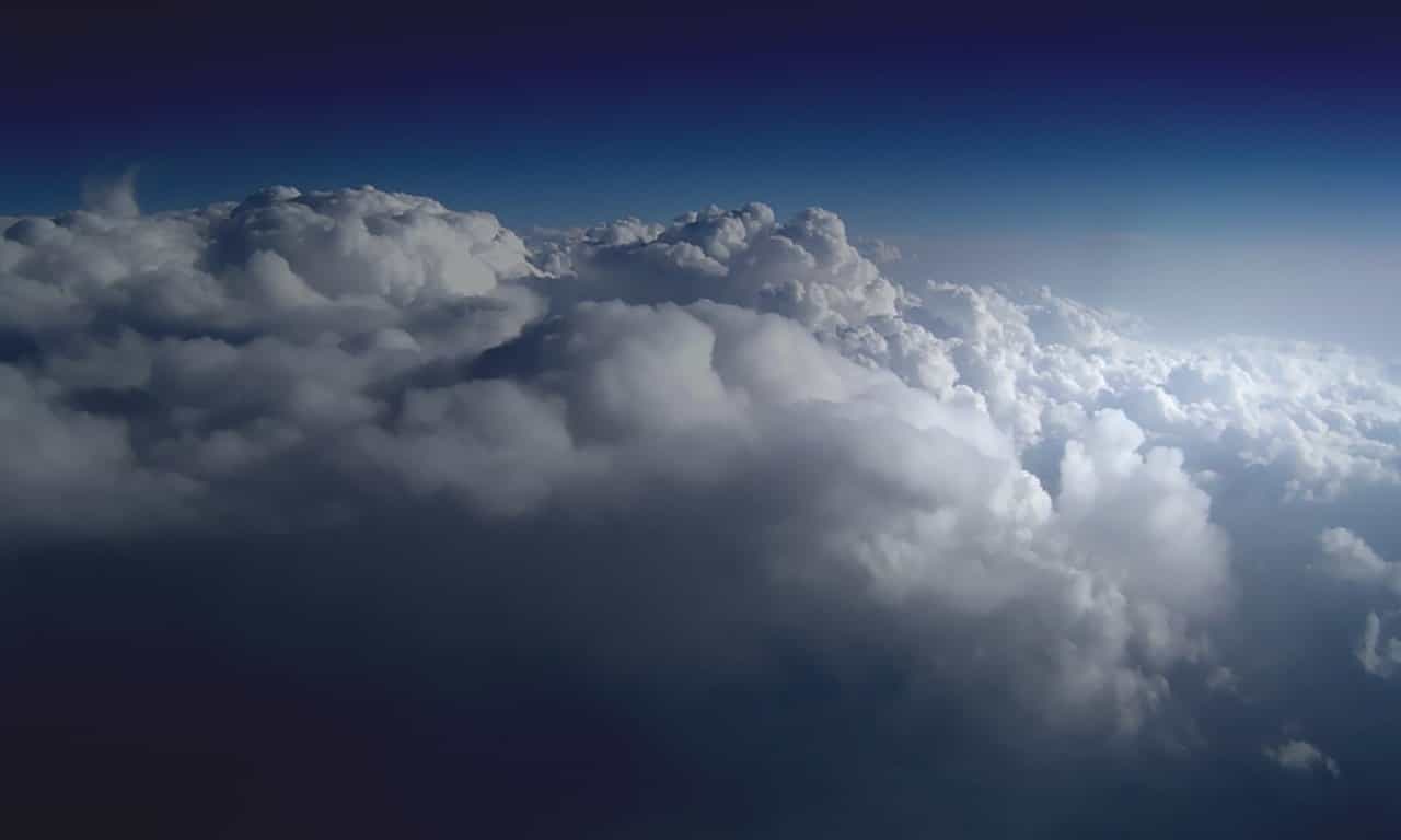
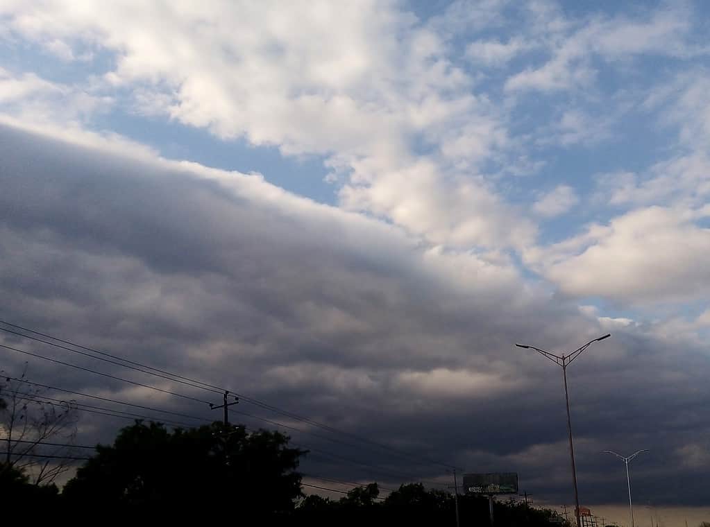
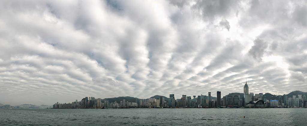
Have you ever gazed up at the sky and noticed those fluffy, low-hanging clouds that seem to stretch for miles? Chances are, you were observing stratocumulus clouds! These cloud formations are not only fascinating to look at but also play an essential role in our atmosphere. In this guide, we’ll delve into the world of stratocumulus clouds, exploring their characteristics, formation process, and how they can help us predict the weather.
What Are Stratocumulus Clouds?

Stratocumulus clouds belong to the low-level cloud family and appear as extensive, rounded masses or rolls in the sky. They usually form between 1,200 and 6,500 feet (400 to 2,000 meters) above the ground. These clouds are composed of water droplets and, occasionally, ice crystals in colder regions.
While they might seem dense and thick, stratocumulus clouds are not as lofty as their towering counterparts like cumulonimbus clouds.
Even if you’re not a weather enthusiast, you’ve probably seen stratocumulus clouds. They’re quite common, especially in cooler, coastal regions.
How Do Stratocumulus Clouds Form?
Stratocumulus clouds form when moist air near the Earth’s surface rises and cools, leading to condensation. This process occurs either due to the heating of the ground during the day, or when warm, moist air glides over colder air masses. As the air rises, it cools down, and water vapor within it condenses into tiny water droplets, creating the cloud formations we observe.
But there’s a twist. Unlike some other cloud types, stratocumulus clouds tend to form closer to the earth’s surface. This is often due to a layer of warmer air above, preventing further rise and spread.
Identifying Stratocumulus Clouds

Recognizing stratocumulus clouds in the sky is relatively straightforward. Here’s what you need to look for:
- Uniform Layers: Stratocumulus clouds often appear in uniform layers that cover a significant portion of the sky. They lack the distinct vertical development seen in towering cumulonimbus clouds.
- Grayish Color: These clouds usually exhibit a grayish appearance, but their color may vary depending on the angle of the sunlight.
- Rolls or Patches: You might notice stratocumulus clouds arranged in rolls or patches, which can give them a unique texture.
- No Precipitation: Stratocumulus clouds are not associated with heavy precipitation, so they generally don’t bring rainfall.
Weather Prediction with Stratocumulus Clouds
Stratocumulus clouds can provide valuable insights into the weather conditions. Here’s what you can infer from their presence:
- Stability: When stratocumulus clouds appear in the morning, they often indicate stable atmospheric conditions. This stability suggests that the weather is likely to remain relatively calm.
- Moisture: The presence of stratocumulus clouds can indicate an increase in moisture levels, potentially leading to later precipitation.
- No Thunderstorms: Since stratocumulus clouds lack the towering structure of cumulonimbus clouds, they are not associated with thunderstorms or severe weather.
Subtypes of Stratocumulus Clouds

While stratocumulus clouds have various appearances, they generally fall into four primary subtypes:
- Stratocumulus Stratiformis: These clouds cover the sky in a sheet-like formation.
- Stratocumulus Lenticularis: These clouds have a lens or almond shape.
- Stratocumulus Castellanus: These clouds are characterized by their castle-like towers.
- Stratocumulus Opacus: These clouds cover the sky completely, allowing no visible sky or sun.
FAQ about Stratocumulus Clouds
No, stratocumulus clouds are not typically associated with dangerous weather conditions.
Usually, these clouds produce only light precipitation, if any. However, they can be an indicator of an approaching storm system.
Cumulus clouds are puffy and isolated, while stratocumulus clouds are low-lying, more extensive, and often appear in connected rows or patches.


