When it rains, it pours — but why does it rain in the first place?
Water is a vital part of life on Earth and, luckily for us, it always keeps moving around. There’s always a bit of it floating around in the air as vapor, for example. If enough of it builds up in the atmosphere, it falls as precipitation — most commonly as ‘rain‘. It sounds simple enough, but the mechanisms that generate precipitation are actually very complex and finely-tuned. So let’s break them down and see how each part works, and how they fit together.
Water vapor and clouds
Water in puddles, rivers, lakes, or oceans evaporates constantly and builds-up in the atmosphere as vapor. However, there’s only so much water that air can hold, which we call its ‘saturation value’. This value fluctuates with changes in temperature; the warmer the air, the more water it can hold.
Air tends to be warmest near the surface of the Earth and cools down when it rises. As it cools down, its water saturation value drops progressively. At a certain point, it drops enough that the air has to shed water, at which point the vapor starts to condense. This temperature is known as the ‘dew point’. Further cooling will cause excess vapor to condense onto solid surfaces (i.e. dew), or onto condensation nuclei (this forms droplets). These condensation nuclei, or ‘aerosols‘ are tiny particles of various origins (such as dust, fog, pollen, or pollution).
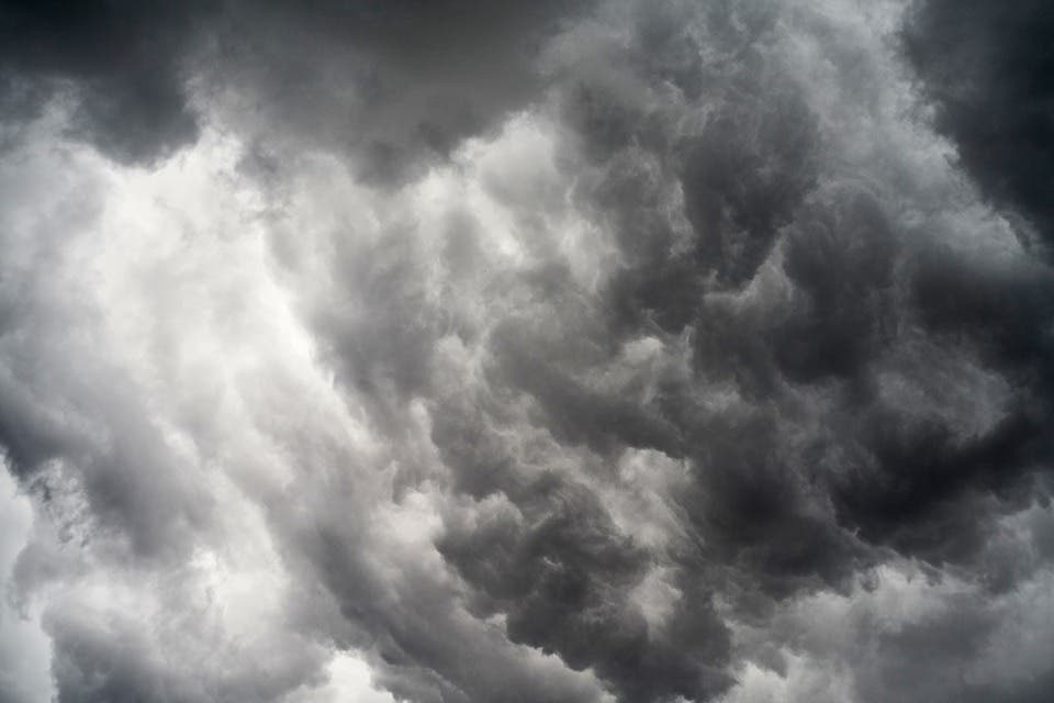
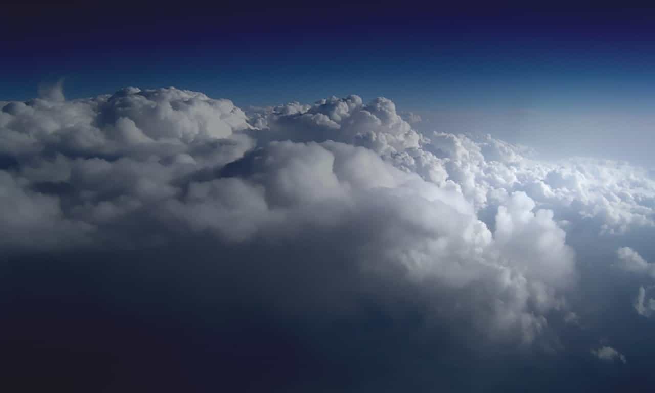
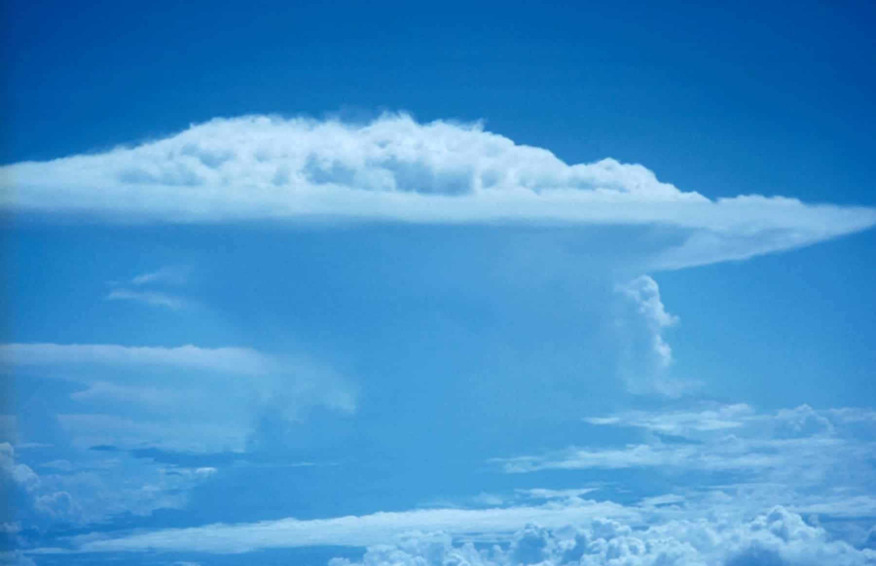
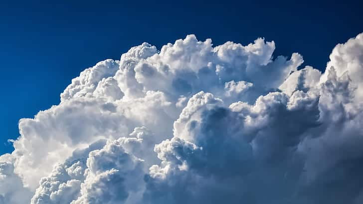
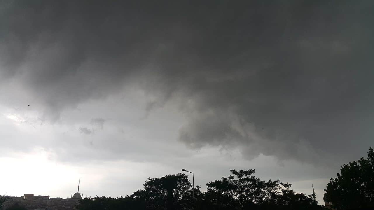
The water droplets formed as air reaches its dew point clump together and scatter incoming sunlight. Our eyes perceive this as white, diffuse clouds. Air masses with little buoyancy relative to the surrounding atmosphere don’t rise very fast, and generate ‘fair wind’ clouds. Air that’s very buoyant compared to its surrounding atmosphere rises rapidly and much higher, forming thick clouds that produce heavy rains. Clouds can also form from the cooling and condensation that occurs as air flows over physical obstructions like mountain ranges.
So around this point, we have our clouds all ready to go. Let’s see how it all comes down.
Precipitation
The droplets that create clouds are really, really tiny — about one-hundredth of a millimeter in diameter. They’re so small that they can just remain suspended in the air, essentially floating around freely. However, they’re not motionless: they do move when pushed by air currents. As they do, some collide, growing larger and heavier and start a slow descent through the cloud. They collide with even more droplets on the way, which makes them grow even heavier.
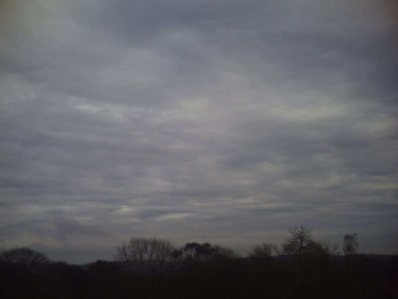
Meteorologists define rain as liquid water drops that have a diameter of at least 0.5 millimeters when they reach ground level. Drops smaller than this are considered drizzle. Drizzle is generally produced by low-level clouds (Stratus clouds) in temperate areas. It’s very thin — drizzle feels like a mist — and forms when there aren’t enough rising air currents to keep small droplets within the cloud.
If the cloud is dense enough that droplets grow to over one-tenth of a millimeter in diameter, they will survive all the way to the ground despite evaporation. This forms ‘warm rain’, which in temperate zones are thin rains. In the tropics, this process leads to heavy rainfall from clouds lower than 5km above ground level.
In temperate areas, heavy rains tend to be generated by a process that involves frozen particles. Temperatures at cloud level tend to be below 0ºC, but the droplets remain liquid. However, they do feel the temperature and spend their time in a state known as ‘supercooling‘. In such a state, even a slight disturbance, such as a collision or contact with an aerosol particle causes them to freeze solid almost instantly.
Water vapor condenses faster onto solid ice particles than it does on liquid droplets, so these little bits of ice grow much faster than surrounding drops and fall sooner. They also grow more as they fall. Warmer masses of air closer to the surface melts the ice as it’s falling, and they reach the ground as rain.
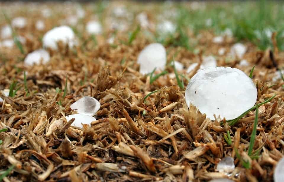
Very thick clouds, however, can create hail. The process is largely similar to the one above, with the exception that the ice particles they form are so large that they can’t melt before reaching the ground. Powerful storms can also generate upward winds that yank these falling bits of ice back into the cloud and re-freeze them. The process is repeated several times as the particles fall, grow larger, and are pulled back up. Eventually, they grow too heavy for the wind to affect them any more and fall to the ground as large, layered hailstones.
How air temperature influences things
Drizzle can also be produced by thick clouds if the drops that fall out of them go through a very dry and warm layer of air and evaporate until they are less than 0.5mm in diameter. If drops pass through a layer of cold air, you get snow. If the layers of air within the cloud and those between the cloud and the ground alternate between below and above freezing, you get all kinds of precipitation.
Hail, as we’ve seen, can form when drops go through a succession of warm-cold layers. Freezing rain forms in a similar fashion. If a droplet or ice particle falls through a moderate or warm layer of air (enough to make it fully liquid) but hits a very cold layer right above the ground, it becomes supercooled — and freezes right as it hits the cold ground. This coats everything in a thin layer of ice that becomes progressively ticker as more drops fall down. Frozen rains have been known to snap tree limbs and down power lines with the weight of the ice coat.
Fun facts about rain
- Although raindrops are depicted in the classic teardrop shape, they’re actually dome-shaped as they fall; the bottom is flat due to air resistance.
- The USGS estimates that one inch of rain per acre is equal to roughly 27,000 gallons (102,206 liters) of water.
- Mawsynram, a village in Meghalaya, India, receives the most annual rainfall — about 10,000 millimeters of rain per year on average; most of it falls during the monsoon season.
- Yungay, Chile, is the driest village on Earth, by comparison — around 0.1 mm each year on average.
- Acid rain forms when pollutants such as sulfur dioxide and nitrogen oxide (some are natural but mostly man-made) bind with water vapor in the atmosphere. The mix is acidic enough to damage organic material, but can also corrode steel and weather stone.
- While Earth’s rains are made of water drops, other planets have much more exotic rains — boiling sulfuric acid, sideways glass rains, and diamond hailstones are just a few.

