You’ve probably seen them looming on the horizon, those impressive, towering formations that signify a potential storm is brewing. Yes, you’re right! We’re talking about Cumulonimbus clouds, the skyscrapers of the cloud world.
They’re a fascinating natural phenomenon, one that gives us not only a stunning view, but also a peek into the world of meteorology.
What is a Cumulonimbus Cloud?

Cumulonimbus clouds, often called thunderstorm clouds, are like the giants of the cloud kingdom. They form through a complex interplay of atmospheric conditions that result in their impressive vertical development. These clouds are a sight to behold, extending vertically and horizontally, sometimes soaring to astonishing heights of over 39,000 feet!
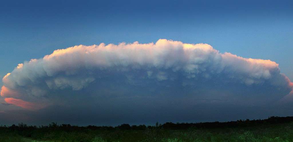
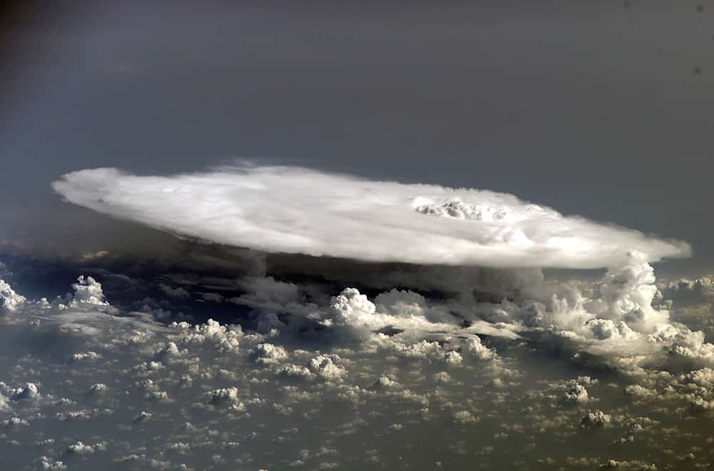
It’s dark at the base, and its top seems to flatten out, like an anvil.
Derived from Latin, “Cumulus” means heap and “Nimbus” means rain. Simply put, Cumulonimbus is a rain cloud—but not just any rain cloud. It’s the one responsible for extreme weather conditions such as thunderstorms, heavy rains, hail, and even tornadoes.
How Does It Form?
The formation of a Cumulonimbus cloud starts with warm, moist air rising in an unstable environment. As the air rises, it cools and condenses, forming a cloud.
If the rising air, or updraft, continues to be strong, this cloud can grow and eventually become a Cumulonimbus cloud. The process can be quick, sometimes taking just a few minutes, or it may take several hours.
How to Identify a Cumulonimbus Cloud

Identifying a Cumulonimbus cloud is like recognizing a skyscraper in a city skyline—it stands out. It’s towering, it’s massive, and it has a unique anvil shape at the top. Look out for these main features:
- Vertical Growth: Cumulonimbus clouds have a towering appearance, often resembling a cauliflower or an anvil.
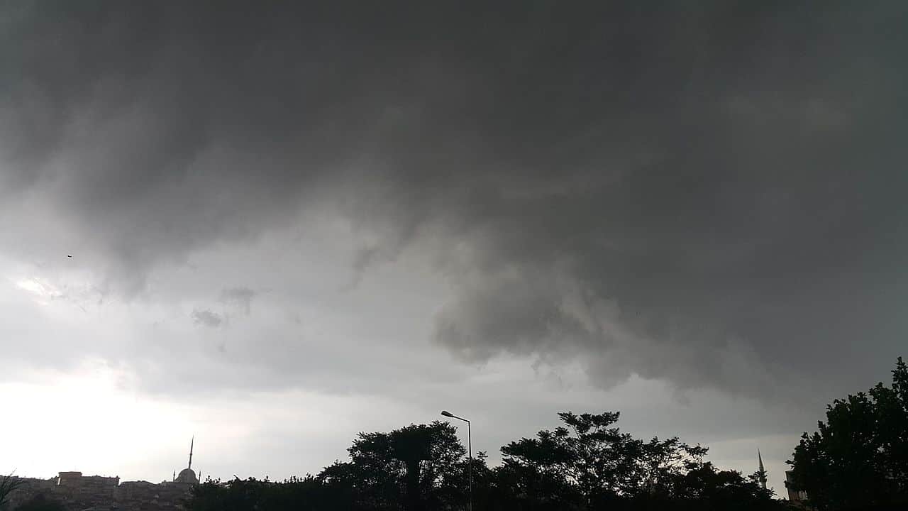
- Dark and Dense: These clouds have a dark base and dense structure due to their water content.
- Anvil Top: Mature Cumulonimbus clouds often feature an anvil-shaped top, which is a clear indicator of their strength and potential for severe weather.
- Precipitation: They usually bring heavy rain, thunderstorms, lightning, and sometimes hail.
Weather Prediction
The presence of Cumulonimbus clouds often means severe weather is on the way. You can anticipate heavy rain, thunderstorms, and in extreme cases, hail or tornadoes.
So, when you see a Cumulonimbus cloud, it’s advisable to check the local weather forecast and prepare accordingly.
The Subtypes of Cumulonimbus Clouds

Cumulonimbus clouds come in two primary subtypes:
- Cumulonimbus Calvus: These are the early-stage Cumulonimbus clouds, characterized by their puffy and cauliflower-like appearance
- Cumulonimbus Capillatus: Mature clouds with an anvil top, indicating a higher potential for severe weather.
- Cumulonimbus Incus: These are the fully developed Cumulonimbus clouds, featuring a wide anvil-shaped top that spreads in the upper atmosphere.
- Cumulonimbus Mammatus: Rare but mesmerizing formations of pouch-like protrusions beneath the anvil, resembling udders.
FAQ about Cumulonimbus Clouds
Cumulonimbus clouds are deep, tall, and carry a lot of water vapor. As a result, when they release this vapor as precipitation, it can be heavy and intense, resulting in severe weather conditions.
The anvil shape is caused by high winds at the top of the troposphere—where the cloud reaches its maximum height—that spread the cloud out sideways.
The speed at which a Cumulonimbus cloud forms depends on the conditions, but it can be as quick as a few minutes or take several hours.


