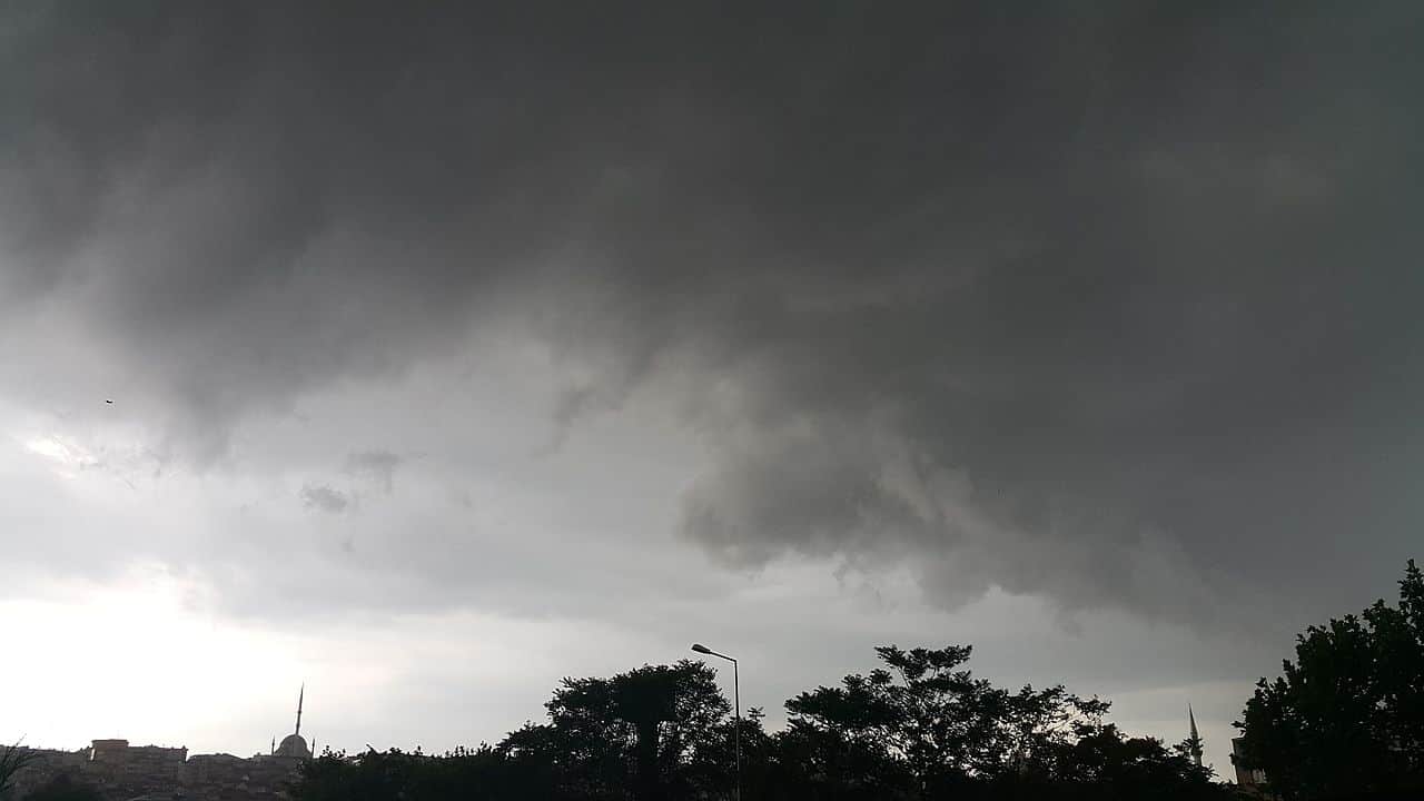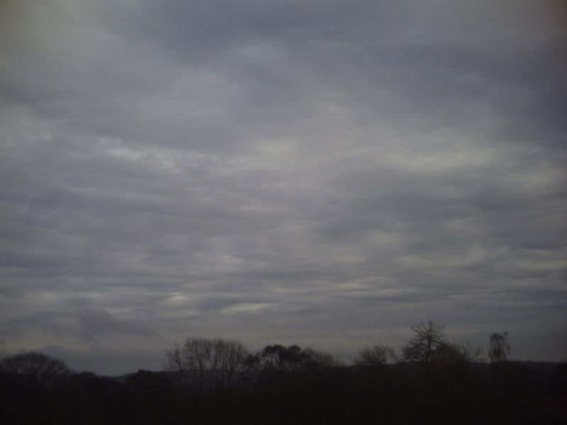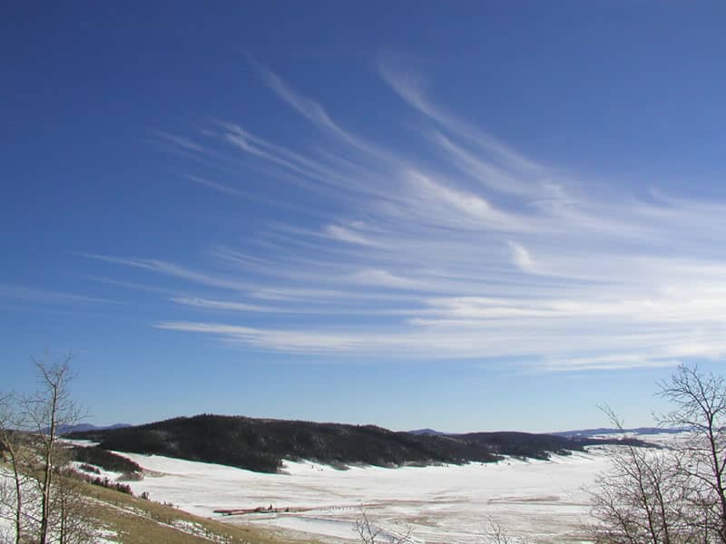
Cirrocumulus clouds, often mistaken for cirrus clouds, add an element of mystique and beauty to the heavens above. In this article, we will explore the fascinating world of cirrocumulus clouds, understanding their characteristics, formation, and the role they play in our atmosphere.
What are Cirrocumulus Clouds?
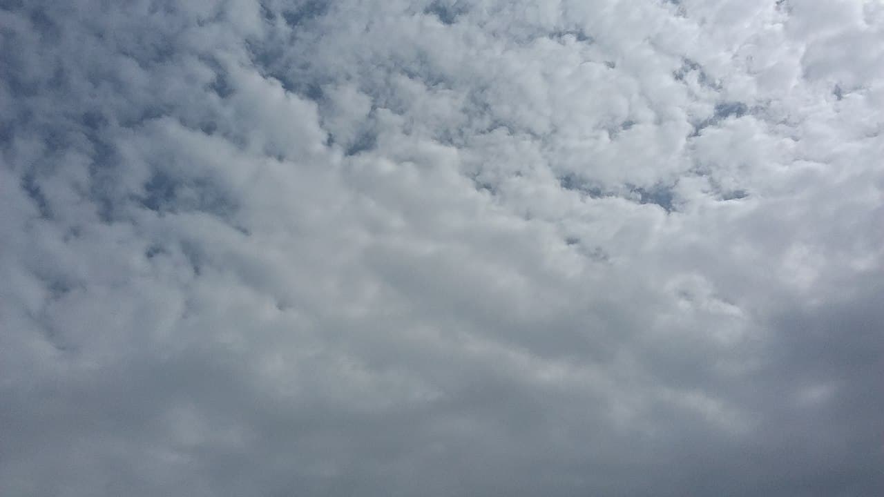
Cirrocumulus clouds, also known as “mackerel sky,” are a type of high-level cloud found at altitudes above 20,000 feet (6,000 meters). These clouds consist of small, white, and puffy cloudlets, which often appear in rows or patches. You’ll marvel at their resemblance to the scales of a fish or the delicate ripples of a gentle ocean wave.
Identifying Cirrocumulus Clouds
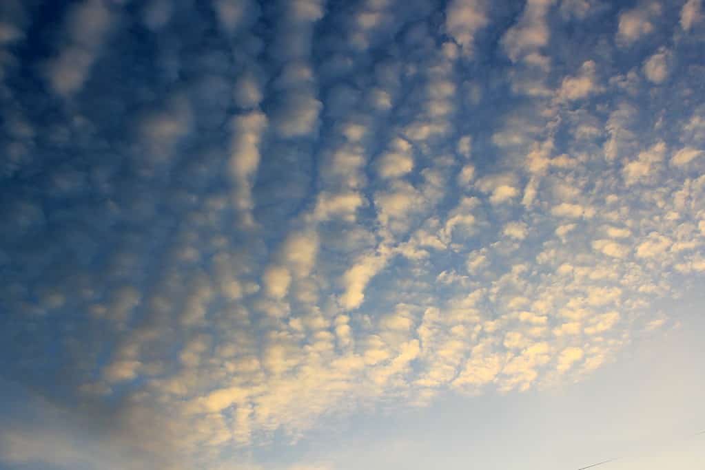
Spotting cirrocumulus clouds can be a delight for any sky enthusiast. Here’s how to identify them:
- Small and White: Cirrocumulus clouds are much smaller than other cloud types, with individual cloudlets often smaller than your thumbnail. They exhibit a brilliant white color, reflecting sunlight in a captivating manner.
- “Mackerel Sky” Pattern: These clouds frequently form distinct patterns resembling fish scales, earning them the nickname “mackerel sky.” Observing this pattern in the sky can be a rewarding experience for cloud enthusiasts like you.
- High Altitude: Like their cirrus counterparts, cirrocumulus clouds are high-flying clouds, residing near the top of the troposphere. Their elevated position grants them a prime spot to catch the sun’s rays.
How Cirrocumulus Clouds Form?
Cirrocumulus clouds form through a similar process to other cloud types but at a much higher altitude. Water vapor condenses onto tiny particles, known as ice nuclei, creating tiny ice crystals. These ice crystals then cluster together to form the characteristic small cloudlets of cirrocumulus clouds.
Cirrocumulus clouds typically originate from cirrus clouds, which are thin, wispy, and high-level clouds composed of ice crystals. As the cirrus clouds thicken and their ice crystals aggregate, they transform into cirrocumulus clouds. Sometimes, cirrocumulus clouds can also arise from the transformation of altocumulus clouds, another cloud type found at middle altitudes.
Subtypes of Cirrocumulus Clouds

Cirrocumulus clouds come in various subtypes, each with its own unique appearance and characteristics. While they all share the common traits of being high-altitude, small, and white, their formations and patterns can vary. Here are some notable subtypes of cirrocumulus clouds:
- Cirrocumulus Stratiformis: This subtype appears as a thin, uniform layer of small cloudlets spread across the sky. The cloudlets are arranged in rows or patches, creating a delicate, lace-like pattern.
- Cirrocumulus Lenticularis: Cirrocumulus lenticularis clouds have a distinct lens or saucer-like shape, often resembling flying saucers or UFOs. They form over mountain ranges and are the result of air flow patterns interacting with the terrain.
- Cirrocumulus Floccus: Cirrocumulus floccus clouds have more defined edges and puffier cloudlets, giving them a cotton-ball-like appearance. They often form in the presence of vertical wind shear, resulting in a more chaotic arrangement.
- Cirrocumulus Castellanus: This subtype displays tower-like projections from the cloudlets, resembling miniature castles in the sky. It indicates instability and may be associated with the development of thunderstorms.
- Cirrocumulus Undulatus: Cirrocumulus undulatus clouds form wavy, parallel lines of cloudlets, creating a mesmerizing ripple effect across the sky. This pattern results from the undulating motion of the air at high altitudes.
- Cirrocumulus Mackerel Sky: The classic “mackerel sky” pattern belongs to the subtype cirrocumulus mackerel sky. It features a series of small cloudlets with a fish-scale appearance, often seen in rows or patterns.
Cirrocumulus Clouds and Weather Prediction
Cirrocumulus clouds are often associated with fair weather conditions. Their presence indicates stable atmospheric conditions at high altitudes. While they don’t typically bring precipitation themselves, spotting these puffy clouds can signify tranquil skies and gentle breezes.
Though often overshadowed by their more famous cloud counterparts, cirrocumulus clouds hold a unique charm of their own. Their subtle patterns and delicate appearance create an atmosphere of serenity and tranquility in the vast expanse of the sky.
FAQ about Cirrocumulus Clouds
Cirrocumulus clouds are generally associated with fair weather conditions. They are too high in the atmosphere to produce precipitation, so they do not bring rain or snow.
Cirrocumulus clouds appear as small, white, and puffy cloudlets, often arranged in rows or patches. Look for their distinctive “mackerel sky” pattern to identify them in the sky.
Cirrocumulus clouds are high-flying clouds, typically found at altitudes above 20,000 feet (6,000 meters) in the upper troposphere.
Yes, cirrocumulus clouds can be visible during the night if there is enough moonlight or artificial light to illuminate them. However, they may be harder to spot in complete darkness.
Cirrocumulus clouds are typically thin and do not pose a significant hazard to aviation. Pilots should, however, always be aware of weather conditions and altitude levels during flight.
Cirrocumulus clouds, like all clouds, can have both warming and cooling effects on the Earth’s climate. However, their impact on climate change is not as significant as some other cloud types.

