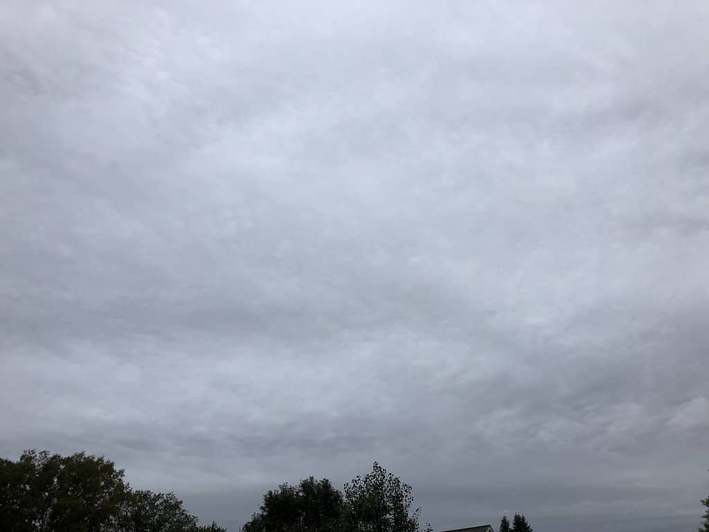
If you’ve ever spent a day under a blanket-like layer of clouds, then you’ve experienced the work of the altostratus clouds. You see, these are the “middle child” of the cloud family, floating halfway between their high-flying cirrus siblings and the low-lying stratus.
These omnipresent formations are often unnoticed, but they play a key role in weather patterns. So, let’s delve into the world of altostratus clouds and uncover their secrets!
What is an Altostratus Cloud?

An altostratus cloud is a mid-level cloud that covers the sky in a uniform layer, much like a sheet. They usually bring a gray or bluish-gray appearance to the sky, giving us those cool, overcast days. Not too high, not too low, they are generally found between 7,000 and 20,000 feet. They’re like a cozy blanket that Mother Nature pulls over the sky.
How Altostratus Clouds Form
So, how does this cloud type come to be? Altostratus clouds form when a large air mass rises uniformly, often ahead of a warm or occluded front. This rising action causes the air to cool and reach its dew point, causing water vapor to condense and form these cloud structures.
Identifying Altostratus Clouds

Looking to identify an altostratus cloud? Here’s what to look for:
- A broad, gray to blue-gray cloud covering the sky, often light enough to see the sun dimly through them.
- They are smoother and lack the puffy appearance that other cloud types may have.
- They usually cover the entire sky and lack the clear borders of lower clouds.
Altostratus and Weather Prediction
Altostratus clouds are reliable harbingers of changing weather, typically indicating a warm front. If you see altostratus clouds, it often means rainfall or snowfall within the next 12 to 24 hours. Not exactly a sign of a bright and sunny day, but useful knowledge for planning your day!
Subtypes of Altostratus Clouds
Even within the altostratus category, we have some variations:
- Altostratus Undulatus: They display a wavy appearance due to wind shear or atmospheric instability.
- Altostratus Opacus: They are thick enough to completely block the sun.
- Altostratus Translucidus: These are thin enough to allow the sun to be seen faintly through the cloud.
FAQ about Altostratus Clouds
Yes, but it’s usually dim and lacks a clear outline. It may appear like a bright spot in the otherwise gray-blue sky.
Typically, no. Altostratus clouds usually precede steady light to moderate precipitation, but they don’t commonly lead to severe weather like thunderstorms.
Their altitude primarily differentiates them. Altostratus clouds are higher up, typically found between 7,000 and 20,000 feet, while stratus clouds are low-level clouds usually found at altitudes below 6,000 feet.
Not always, but they often precede a period of precipitation like rain or snow within the next 12 to 24 hours.


