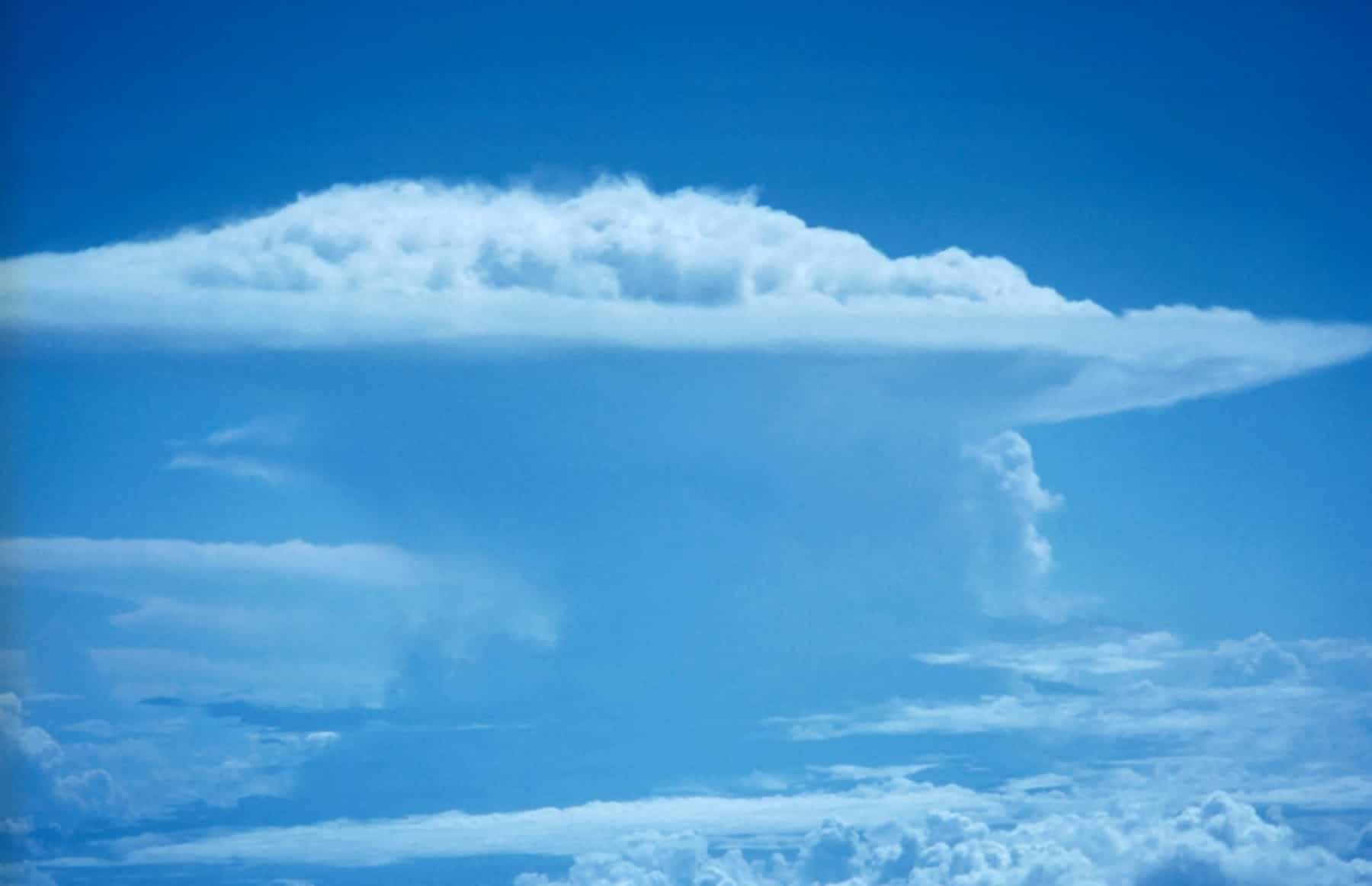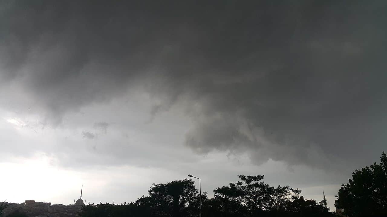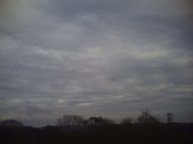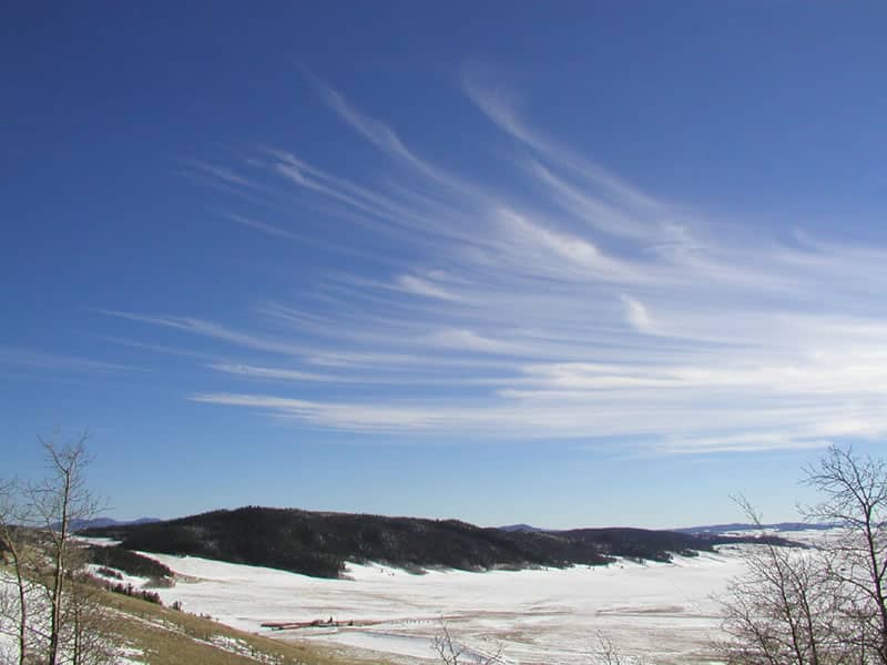
Welcome to the captivating world of Altocumulus clouds, where the sky becomes a canvas painted with fluffy, white or gray globules. Prepare to uncover the secrets of how Altocumulus clouds form, how to spot them in the sky, and the valuable insights they offer in weather prediction.
What are Altocumulus Clouds?
Altocumulus clouds, abbreviated as Ac, belong to the middle-level cloud group, found at an altitude of around 6,500 to 20,000 feet (2,000 to 6,100 meters) above the ground. These clouds appear as a patchy or wavy layer of white or gray globules, often forming in rows or groups that cover the sky partially.
Altocumulus clouds are composed of water droplets and, in colder regions, may contain supercooled water droplets or ice crystals.
Formation of Altocumulus Clouds

Altocumulus clouds arise due to various meteorological processes, typically involving the cooling and condensation of moist air. One common cause is the lifting of air masses over elevated terrains, like mountains. When the air rises, it cools down, and moisture in the air condenses, forming the characteristic fluffy globules of Altocumulus clouds.
Another formation mechanism is associated with the presence of atmospheric instability, which leads to air parcels rising and cooling, ultimately creating these clouds. The appearance of Altocumulus clouds may signal the presence of an approaching frontal system, often preceding changes in weather conditions.
Identifying Altocumulus Clouds
Spotting Altocumulus clouds in the sky is relatively straightforward. Look for a layer of white or gray clouds with a textured or wavy appearance, often covering a significant portion of the sky.
They are smaller and denser than their high-level counterparts, Cirrocumulus clouds, but larger and more rounded than the lower-level Stratocumulus clouds. Pay attention to their altitude, as clouds found at mid-level elevations are likely to be Altocumulus formations.
Altocumulus Clouds and Weather Prediction
Altocumulus clouds can provide essential clues about upcoming weather patterns. While they are not strong precipitation producers themselves, their presence often indicates changes in atmospheric conditions.
If you spot Altocumulus clouds thickening and merging, it may signal an approaching warm front, suggesting a possible increase in humidity and the chance of rain in the next 12 to 24 hours.
On the other hand, Altocumulus clouds darkening and appearing lower could be an indication of an incoming cold front, which might bring cooler temperatures and potentially thunderstorms. However, it’s crucial to remember that weather prediction is a complex science, and other meteorological factors should also be taken into account.
Subtypes of Altocumulus Clouds
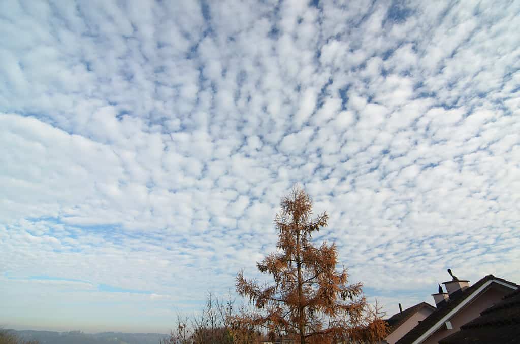
There are two primary subtypes of Altocumulus clouds:
- Altocumulus Stratiformis: This subtype appears as a thin, even layer of small cloudlets, covering a considerable portion of the sky. The cloudlets are well-defined and often aligned in rows or waves. Altocumulus stratiformis clouds are usually associated with stable weather conditions.
- Altocumulus Lenticularis: This subtype has a lens or almond-like shape, resembling a flying saucer or UFO. They often form downwind of mountains and are a common sight in regions with regular mountainous winds. Altocumulus lenticularis clouds can indicate strong winds at their level and are sometimes mistaken for flying saucers due to their peculiar appearance.
Altocumulus clouds enhance your ability to interpret weather patterns and predict possible changes in atmospheric conditions. By identifying their distinct features, you can observe the sky with a new sense of wonder and grasp the secrets that these middle-level clouds hold.
FAQs about Altocumulus Clouds
Altocumulus clouds themselves are not significant rain producers. However, their presence can be an indication of potential weather changes, including the approach of warm or cold fronts, which may lead to precipitation.
Altocumulus clouds are generally harmless and do not pose direct threats to safety. However, they can be a visual indicator of changing weather patterns, and being aware of weather conditions is always prudent for outdoor activities.
While Altocumulus clouds themselves do not typically develop into thunderstorms, their presence may be associated with atmospheric instability that could lead to thunderstorm formation under certain conditions.
Altocumulus clouds form at mid-level altitudes, between 6,500 and 20,000 feet, while Cirrocumulus clouds are high-level clouds found above 20,000 feet. Altocumulus clouds appear larger and denser than Cirrocumulus clouds, which are characterized by small and distinct cloudlets.
Yes, Altocumulus clouds can be helpful in weather prediction. Their appearance and behavior may provide valuable insights into the approach of warm or cold fronts, potentially leading to changes in temperature and precipitation.


