It finally happened. La Niña, the cool phase of a climate phenomenon called El Niño Southern Oscillation (ENSO) system, which has boosted hurricane seasons and drought over the past two and a half years, has ended, meteorology administrations from the US and Australia said. But hold your breath, as El Niño could soon be approaching.

ENSO has two opposite states – El Niño and La Niña – both of which significantly alter weather patterns across the globe. During the last few years, the world has seen consecutive La Niña periods, which brought drier weather to the southern part of the US and then wetter to the northern half. The last La Niña started in September 2020.
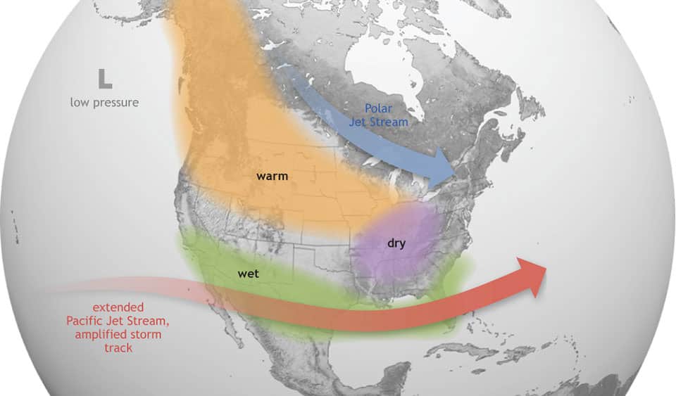
During the El Niño period, the opposite happens. There’s dryer weather in the northern US, and wetter in the southern part, with a strong possibility of flooding along the US Gulf Coast and the Southeast. Not every El Niño or La Niña event is the same, but climate scientists have spotted some typical effects over recent years.
While temperatures increase by about 0.2 °C during El Niño, they fall about 0.2 °C during La Niña, as the BBC reported. The hottest year on record, 2016, was in fact an El Niño year. El Niño and La Niña typically happen every two to seven years, and usually last nine to 12 months. And they don’t necessarily alternate, as seen now with La Niña. The current La Niña happened for a third time in a row, and it was weak but unusually prolonged.
The most significant impact of this period of La Niña has been in Eastern Australia, which saw flooding and record-breaking rainfall in 2022. In Sidney, 2.577 millimeters of rain fell, exceeding the record of 2.244 millimeters set in 1950. La Niña was also behind a record-breaking hurricane season in 2020 and the third most active season in 2021.
The way forward
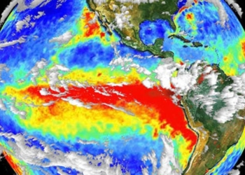
Since February and early March, the sea surface temperature in the equatorial Pacific Ocean has been increasing. Australia’s Bureau of Meteorology (BOM) and the National Oceanographic Atmospheric Administration (NOAA) in the US believe this is an indicator of ENSO now being neutral, instead of displaying La Niña or El Niño activity.

However, this neutral period will probably be short-lived. By summer, the rising sea surface temperatures may lead El Niño to develop, according to NOAA and BOM. The World Meteorological Organization (WMO) has also said a warming El Niño event could develop in the coming months, following a period of neutral conditions.
The chances of El Niño developing, while low in the first half of the year (15% in April-June), gradually increased to 35% in May-July, according to the WMO. The chances then grow to 55% for June-August, but subject to high uncertainty. An El Niño phase would fuel a spike in global temperatures, WMO secretary-general Petter Taalas said.
Back in 2021, the UN body that gathers leading climate scientists, the IPCC, said the ENSO events that have happened since 1950 are stronger than those registered between 1850 and 1950. However, the IPCC also said that there’s no conclusive evidence yet that climate change has had any influence on El Niño or La Niña weather events.


