Strange weather in the East Coast and California’s worst drought in history have been linked to a peculiar warm mass of water out in the Pacific Ocean. A new study published in the Geophysical Research Letters explain its origins and how its warm waters also warmed surface temperatures out in the coast, and displaced marine life, a major concern at the moment. Worth noting that research thus far suggests that ‘warm blob’, as it’s been dubbed, has been primarily attributed to natural variability, and not global warming.

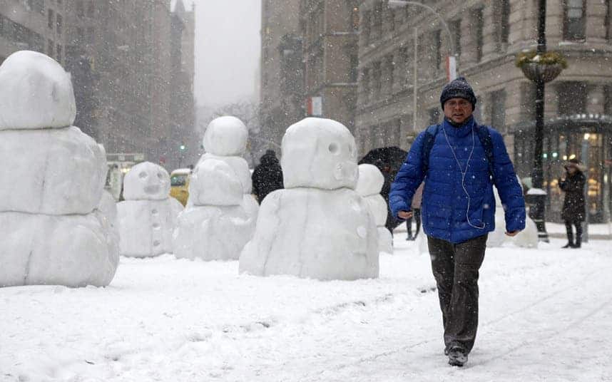
Picture: EPA/JASON SZENES
In the fall of 2013, scientists first noticed a large mass of water stretching some 1,000 miles in all directions in the Pacific Ocean didn’t cool by as much as it should during the winter. By spring 2014, it was way warmer for that time of year or about 1 to 4 degrees Celsius above normal. Some ten months later, the blob now lies 1,000 miles offshore from Mexico up through Alaska, still warm with 2 degrees Celsius above normal.
Nick Bond, a climate scientist at the UW-based Joint Institute for the Study of the Atmosphere and Ocean, was part of the team that explored the origins of the strange body of water. He also coined the term ‘blob’. His findings suggest the blob can be tracked down to a high-pressure ridge that caused a calmer ocean during the past two winters, so what we’re seeing in fact today is the result of less cooling during winter and not more warming during spring, despite there’s a net warming effect.

The warm blob disrupted marine life in the region, meddling with the food web according to sightings of fish stocks in unusual places. This may be why hungry seals are washing out on Californian beaches in such large numbers – those who couldn’t follow the fish at least. It’s influence also extends inland, as winds carry warm air to heat the surface of the West Coast, causing more heat and less snow, making it an important factor accounting for the drought. According to models, the blob should fade this year.
The blob may also play a role, albeit minor, in the last two bone chilling winters on the East Coast. Dennis Hartmann, a UW professor of atmospheric sciences, published a paper in the same journal in which he details his investigation of the Pacific Ocean’s influence over the cold 2013-14 winter in the central and eastern United States. His work suggests a decadal-scale pattern in the tropical Pacific Ocean linked with changes in the North Pacific, called the North Pacific mode, sent atmospheric waves snaking along the globe to bring warm and dry air to the West Coast and very cold, wet air to the central and eastern states. It’s also what caused the blob.
“Lately this mode seems to have emerged as second to the El Niño Southern Oscillation in terms of driving the long-term variability, especially over North America,” Hartmann said.
Since the 1980s this pattern has intensified, becoming second only to El Niño in its influence on global weather patterns.
“It’s an interesting question if that’s just natural variability happening or if there’s something changing about how the Pacific Ocean decadal variability behaves,” Hartmann said. “I don’t think we know the answer. Maybe it will go away quickly and we won’t talk about it anymore, but if it persists for a third year, then we’ll know something really unusual is going on.”
“This is a taste of what the ocean will be like in future decades,” Bond said. “It wasn’t caused by global warming, but it’s producing conditions that we think are going to be more common with global warming.”


