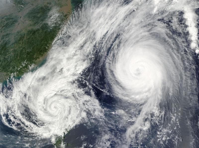
Extreme weather events are becoming the new normal in many parts of the world and climate change is largely behind it. The number and strength of heatwaves and major hurricanes, among many other events, has increased. But more research is still needed to explore the phenomenon.

That’s especially applicable to tropical storms, such as hurricanes, typhoons, or tropical cyclones, depending on the strength and the ocean basin where they’re located. The tools used to study them frequently change, which makes it difficult to make comparisons.
Working with almost 40 years of infrared satellite images, researchers at the National Oceanic and Atmospheric Administration National Center for Environmental Information and the University of Wisconsin-Madison, found that climate change has made hurricanes more severe across the world — carrying more powerful and sustained winds.
“The main hurdle we have for finding trends is that the data are collected using the best technology at the time,” James Kossin, an NOAA scientist and lead author of the new study, said in a statement. “Every year the data are a bit different than last year, each new satellite has new tools and captures data in different ways.”
Kossin had already identified trends in the intensity of the hurricanes in a period of 28 years, going from 1982 to 2009. But the dataset wasn’t that conclusive and more studies were needed to obtain more robust results. This time, Kossin and colleagues added 10 extra years of satellite data.
Satellites that orbit around the Earth measure many hurricane features to estimate their intensity. The researchers used various techniques to account for the differences in the data caused by advances in the technology of recollection – such as higher resolution.
They had to discard images from newer satellites that provided views of hurricanes from angles that weren’t available before, as well as of old satellites that couldn’t be adapted. This left them with a massive dataset of 225,000 images of a similar quality of about 4,000 hurricanes from around the world.
Working with the dataset, the researchers found a rise in the proportion of major hurricanes. “There’s a clear shift toward greater intensity that manifests as increased probabilities of exceeding major intensity,” the study said.
8% increase in hurricane intensity with each new decade
The study showed that the chances of a hurricane of having Category 3 or higher wind speeds increased by 15% between the first and last halves of the analyzed data. This corresponded to about an 8% increase per decade over the period of study. The proportion of all hurricanes exceeding major-hurricane intensity showed an increase of 6% per decade.
The dataset was also categorized by location, in an attempt to understand the changes from region to region. The North Atlantic Ocean showed high rates of increase in hurricane intensity from 1979 to 2017.
“The probability of major hurricane exceedance increased by 49% per decade,” the study said.
Nevertheless, the authors noted that the trend in the North Atlantic Ocean isn’t fully clear yet due to external factors such as aerosols, African dust and volcanic activity. At the same time, the magnitude and significance of the trends among individual ocean basins varied considerably, according to the study.
The findings don’t dismiss the possibility that the increase in hurricanes isn’t the result of a perfect coincidence of other trends, the researchers said. But it shows the growth is actually happening during the period of greatest warming seen by the world in modern times.
“It’s a good step forward and increases our confidence that global warming has made hurricanes stronger, but our results don’t tell us precisely how much of the trends are caused by human activities and how much may be just natural variability,” Kossin said in a statement.
The study was published in the journal PNAS.


