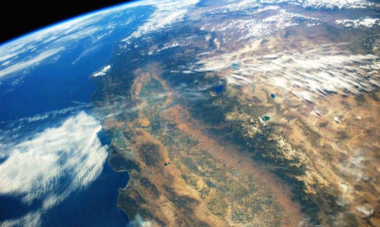
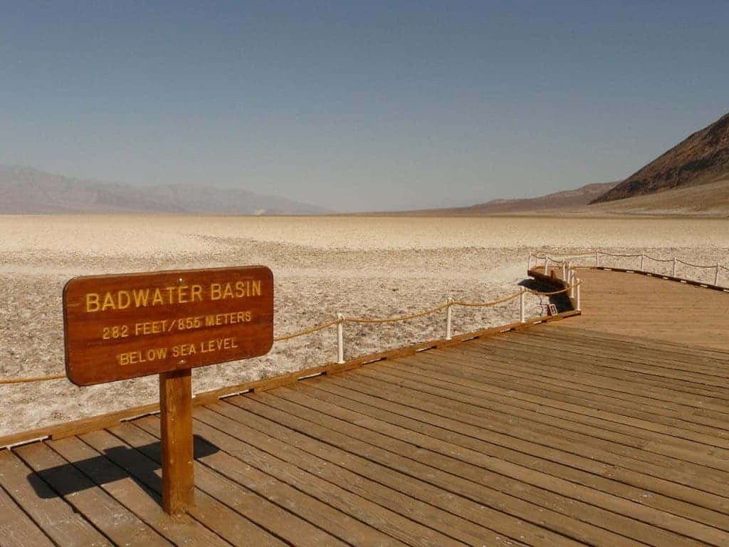
The Sunny State is going through its worst drought in the last couple thousand years. Authorities have had to take extreme measures to save water, but given its severity a lot of people are wondering if such droughts will become more common. Echoing previous research, a team from Stanford found atmospheric patterns like those encountered during the latter half of California’s ongoing multiyear drought are indeed more frequent nowadays.

“The current record-breaking drought in California has arisen from both extremely low precipitation and extremely warm temperature,” says Noah Diffenbaugh, associate professor of earth system science at Stanford University. “In this new study, we find clear evidence that atmospheric patterns that look like what we’ve seen during this extreme drought have in fact become more common in recent decades.”
The researchers tapped the US government archives to investigate changes during California’s October to May “rainy season.” This period is essential for California since it depends on a small number of heavy precipitation events to make up the bulk of its annual total. This also makes it very vulnerable during a dry spell, significantly lowering its snow and rainfall potential.
[ALSO SEE] California drought in pictures

A list was compiled with patterns associated with extreme temperature and precipitation seasons between 1949 and 2015. According to the researchers’ analysis, there’s a tendency for an increase in occurrence of precipitation and temperature extremes over the 67-year period.
“California’s driest and warmest years are almost always associated with some sort of persistent high pressure region, which can deflect the Pacific storm track away from California,” says Daniel Swain, first author of the study published in the journal Science Advances and a graduate student in Diffenbaugh’s lab.
One troublesome atmospheric pattern is the so-called “ridiculously resilient ridge”, a high atmospheric pressure region that disrupts winter storms by diverting them northward and preventing them from reaching California during the state’s drought. This pattern makes California drier and warmer and it’s only going to appear more often in the coming years, the researchers say. High atmospheric pressure in the Northeastern Pacific, where these patterns originate, have been linked to climate change.
“We’re seeing an increase in certain atmospheric patterns that have historically resulted in extremely dry conditions, and yet that’s apparently not occurring at the expense of patterns that have historically been associated with extremely wet patterns,” Swain says. “We’re not necessarily shifting toward perpetually lower precipitation conditions in California—even though the risk of drought is increasing.”
“What seems to be happening is that we’re having fewer ‘average’ years, and instead we’re seeing more extremes on both sides,” Swain says.” “This means that California is indeed experiencing more warm and dry periods, punctuated by wet conditions.”
The fact that there will be less neural years and more extreme ones is nothing surprising. The findings fit climate predictions which posit extreme weather in both directions will become more frequent as the planet warms and more energy is gathered in the system.


