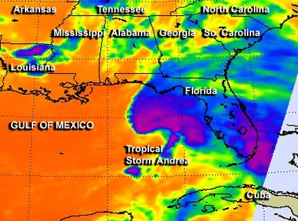
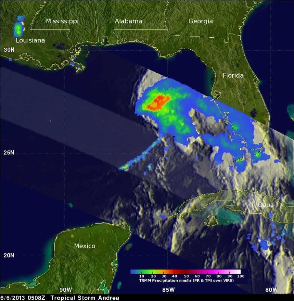
Towering thunderstorms are a bad sign, often announcing a strong tropical cyclone – and NASA’s satellites observed just that. The TRMM satellite spotted thunderstorms reaching heights of almost 9 miles high within Tropical Storm Andrea, while the Aqua satellite provided an infrared view that revealed very cold cloud top temperatures that coincided with the towering thunderstorms that TRMM saw.
Subtropical Storm Andrea was the first named storm and first subtropical cyclone of the 2007 Atlantic hurricane season. The storm produced rough surf along the coastline from Florida to North Carolina, causing beach erosion and significant, but not massive damage. This year, things can be much worse.
A Tropical Storm Warning is in effect for the west coast of Florida from Boca Grande to Indian Pass, from Flagler Beach, Fla. to Cape Charles Light, Va., the Pamlico and Albemarle Sounds, and the lower Chesapeake Bay south of New Point Comfort, Va. If you’re in one of those areas or nearby, or you have loved ones living there, check the National Hurricane Center web page at: www.nhc.noaa.gov.
Andrea is expected to head to the North East after it goes through Florida, powering through the American coast on June 8.
Via NASA


